Wyoming national forest maps
Cartahaven has 19 national forest maps of Wyoming, all free. Forest visitor maps, motor vehicle use maps and winter travel maps from the USDA Forest Service: which roads and trails are open, to what, and when.
Download one to your phone and the map app shows your GPS position on it with no cell signal.

Antelope Butte Nordic Ski Trails
Bighorn National Forest (2025)

Bighorn National Forest
Forest Service forest map

Black Hills National Forest
Forest Service forest map

Bridger-Teton National Forest
Forest Service forest map

Cutler Nordic Ski Trails
Bighorn National Forest (2025)
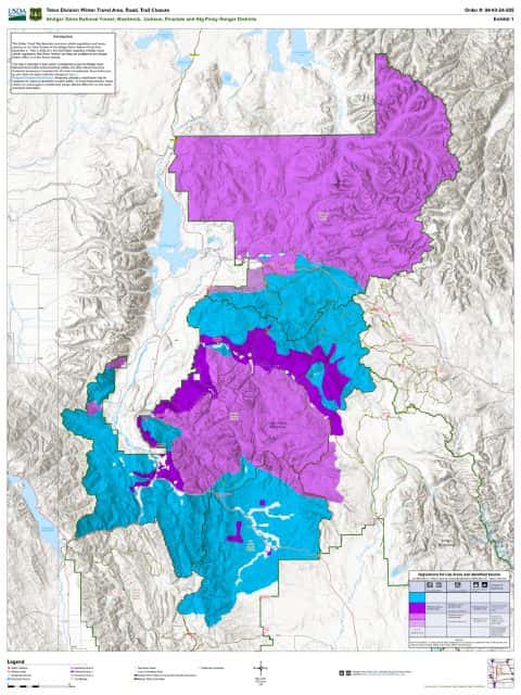
Jackson, Blackrock, Big Piney, & Pinedale RD Winter Restriction Map
Bridger-Teton National Forest

Laramie Peak Motor Vehicle Use Map (MVUM)
Forest roads and trails open to vehicles
Medicine Bow-Routt National Forests & Thunder Basin National Grassland (2022)

Medicine Bow-Routt National Forest
East — Forest Service forest map

motor vehicle use map
Forest roads and trails open to vehicles
Bighorn National Forest (2023)

Pole Creek Nordic Ski Trails
Bighorn National Forest (2025)

Pole Mountain Motor Vehicle Use Map (MVUM)
Forest roads and trails open to vehicles
Medicine Bow-Routt National Forests & Thunder Basin National Grassland (2022)

Shoshone National Forest
Forest Service forest map

Sibley Lake Nordic Ski Trails
Bighorn National Forest (2025)

Sierra Madre Motor Vehicle Use Map (MVUM)
Forest roads and trails open to vehicles
Medicine Bow-Routt National Forests & Thunder Basin National Grassland (2021)

Snowy Range Motor Vehicle Use Map (MVUM)
Forest roads and trails open to vehicles
Medicine Bow-Routt National Forests & Thunder Basin National Grassland (2021)

Thunder Basin National Grassland - North Motor Vehicle Use Map (MVUM)
Forest roads and trails open to vehicles
Forest Service Maps

Thunder Basin National Grassland - South Motor Vehicle Use Map (MVUM)
Forest roads and trails open to vehicles
Forest Service Maps

Thunder Basin National Grassland, Medicine Bow-Routt National Forest
Forest Service forest map

Willow Park Nordic Ski Trails
Bighorn National Forest (2025)