Free tool
Is my PDF a GeoPDF?
Pick a PDF map to see whether it has location data and where it lands on a map. It’s free, with no account.
What makes a PDF a GeoPDF
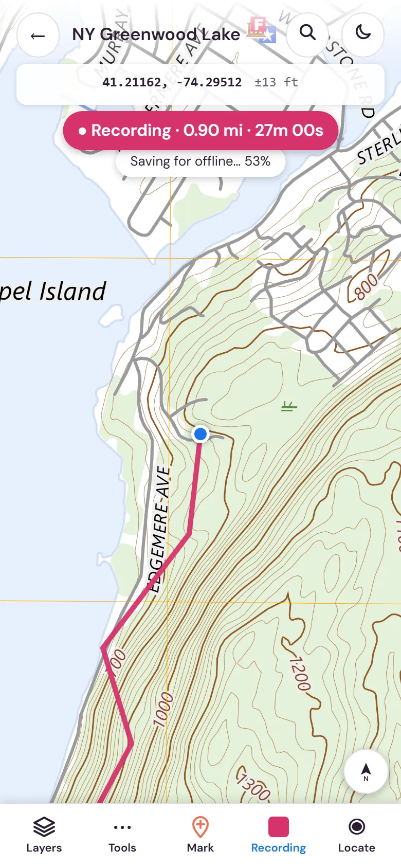
A GeoPDF is a PDF map with coordinates built in. It looks like any other PDF, but it also records where each part of the page sits on the ground. That lets a map app draw your GPS position on the sheet, measure distances and record your track.
A plain PDF of a map holds only the picture. Both look the same in a PDF reader, which is why it’s hard to tell them apart by eye.
If yours is a plain PDF
A scan of a paper map or a map exported as an ordinary PDF usually has no location data. You have two options:
- Look for a geospatial version from whoever published the map. Agencies often offer one next to the regular download.
- Add the location data yourself by matching a few points to a map. Our guide to georeferencing a scanned paper map shows how.
Your file stays on your device
The check runs in your browser, so the PDF isn’t uploaded to Cartahaven or anywhere else. If the file has location data, the background map for that area loads from OpenStreetMap. We count how many checks are run and their outcome, never the file name or location.