South Carolina USGS topo maps
Cartahaven has 570 USGS topo maps of South Carolina, all free. These are the current USGS US Topo 7.5-minute (1:24,000) quadrangles: contours, roads, trails, streams and place names, each a GeoPDF.
Download one to your phone and the map app shows your GPS position on it with no cell signal.

Abbeville East, SC
Detailed map of terrain, trails and roads
USGS topo, 2024

Abbeville West, SC
Detailed map of terrain, trails and roads
USGS topo, 2024

Adams Run, SC
Detailed map of terrain, trails and roads
USGS topo, 2024
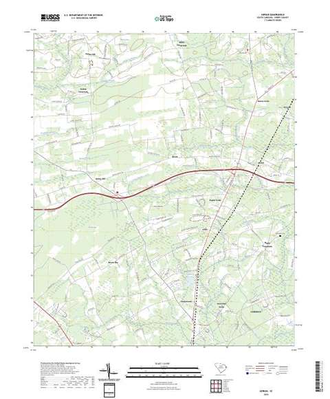
Adrian, SC
Detailed map of terrain, trails and roads
USGS topo, 2024

Aiken NW, SC
Detailed map of terrain, trails and roads
USGS topo, 2024

Aiken, SC
Detailed map of terrain, trails and roads
USGS topo, 2024

Allendale, SC
Detailed map of terrain, trails and roads
USGS topo, 2024

Alvin, SC
Detailed map of terrain, trails and roads
USGS topo, 2024

Anderson North, SC
Detailed map of terrain, trails and roads
USGS topo, 2024

Anderson South, SC
Detailed map of terrain, trails and roads
USGS topo, 2024

Andrews, SC
Detailed map of terrain, trails and roads
USGS topo, 2024

Angelus, SC
Detailed map of terrain, trails and roads
USGS topo, 2024

Antioch, SC
Detailed map of terrain, trails and roads
USGS topo, 2024

Antreville, SC
Detailed map of terrain, trails and roads
USGS topo, 2024

Armenia, SC
Detailed map of terrain, trails and roads
USGS topo, 2024

Augusta East, GA-SC
Detailed map of terrain, trails and roads
USGS topo, 2024

Avalon, GA-SC
Detailed map of terrain, trails and roads
USGS topo, 2024

Awendaw, SC
Detailed map of terrain, trails and roads
USGS topo, 2024

Bamberg, SC
Detailed map of terrain, trails and roads
USGS topo, 2024

Barnwell, SC
Detailed map of terrain, trails and roads
USGS topo, 2024

Barr Lake, SC
Detailed map of terrain, trails and roads
USGS topo, 2024

Barton, SC
Detailed map of terrain, trails and roads
USGS topo, 2024

Batesburg, SC
Detailed map of terrain, trails and roads
USGS topo, 2024

Baton Rouge, SC
Detailed map of terrain, trails and roads
USGS topo, 2024

Bayboro, SC
Detailed map of terrain, trails and roads
USGS topo, 2024

Beaufort, SC
Detailed map of terrain, trails and roads
USGS topo, 2024

Belmont, NC-SC
Detailed map of terrain, trails and roads
USGS topo, 2022

Belton East, SC
Detailed map of terrain, trails and roads
USGS topo, 2024

Belton West, SC
Detailed map of terrain, trails and roads
USGS topo, 2024

Bennetts Point, SC
Detailed map of terrain, trails and roads
USGS topo, 2024

Bennettsville North, SC
Detailed map of terrain, trails and roads
USGS topo, 2024

Bennettsville South, SC
Detailed map of terrain, trails and roads
USGS topo, 2024

Bethera, SC
Detailed map of terrain, trails and roads
USGS topo, 2024

Bethune NW, SC
Detailed map of terrain, trails and roads
USGS topo, 2024

Bethune, SC
Detailed map of terrain, trails and roads
USGS topo, 2024

Bingham, SC
Detailed map of terrain, trails and roads
USGS topo, 2024

Bishopville East, SC
Detailed map of terrain, trails and roads
USGS topo, 2024

Bishopville West, SC
Detailed map of terrain, trails and roads
USGS topo, 2024

Black Creek, SC
Detailed map of terrain, trails and roads
USGS topo, 2024

Blacksburg North, SC-NC
Detailed map of terrain, trails and roads
USGS topo, 2024

Blacksburg South, SC
Detailed map of terrain, trails and roads
USGS topo, 2024

Blackstock, SC
Detailed map of terrain, trails and roads
USGS topo, 2024

Blackville, SC
Detailed map of terrain, trails and roads
USGS topo, 2024

Blair, SC
Detailed map of terrain, trails and roads
USGS topo, 2024

Blakely, SC
Detailed map of terrain, trails and roads
USGS topo, 2024

Blue Springs Landing, GA-SC
Detailed map of terrain, trails and roads
USGS topo, 2024

Bluffton, SC
Detailed map of terrain, trails and roads
USGS topo, 2024

Blythewood, SC
Detailed map of terrain, trails and roads
USGS topo, 2024