Over-Snow Vehicle Use Map — Stanislaus National Forest
by Forest Service Maps (public domain) · Stanislaus National Forest, US
Free
A free GeoPDF for offline GPS in the Cartahaven app, with free updates. How it works offline
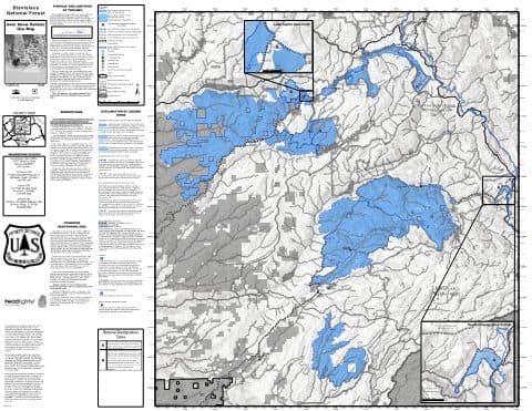
Over-Snow Vehicle Use Map (OSVUM): where snowmobiles and other over-snow vehicles are allowed, and when.
Stanislaus National Forest. Public domain map from the USDA Forest Service, republished from https://www.fs.usda.gov/r05/stanislaus/maps-guides. When the forest posts a new edition it shows up here as a free update.
What you get
- Your GPS position on the map. A blue dot on this official sheet shows where you are.
- Works with no signal. Download it once; the map and your GPS position keep working with no cell signal.
- Tracks, placemarks and photos. Record where you go, drop pins, and export GPX, KML or GeoJSON.
- Free updates. When a new edition is published here, it’s yours at no cost.
- 1Tap “Get this map”: it’s added to your free account.
- 2Open the Cartahaven app on your phone and sign in.
- 3Tap “My purchases” (“Get my maps” before you sign in). It’s on your phone, ready offline.
The app runs on iPhone, Android and in desktop browsers. Install it · How offline GPS works
Where this map covers
More maps of Eldorado National Forest, Stanislaus National Forest and Humboldt-Toiyabe National Forest.
Maps nearby
More maps around here ›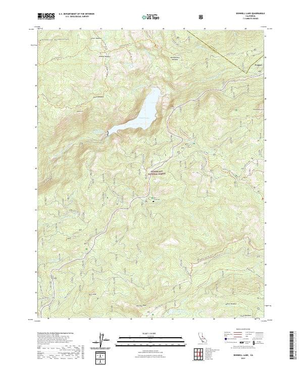
Donnell Lake, CA — USGS 7.5-minute topo (2021)
USGS Topo Maps (public domain) · California
Public domain
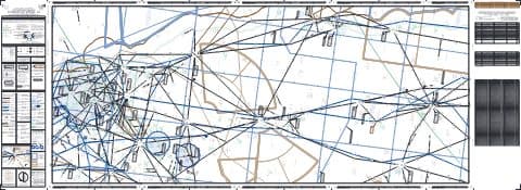
IFR Enroute Low Altitude Chart L-02 (U.S.) — FAA, 2026-10-29
FAA IFR Enroute Charts (public domain)
Public domain
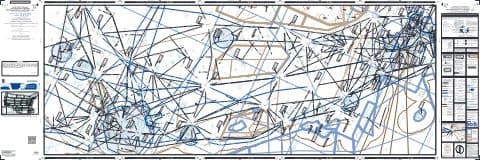
IFR Enroute Low Altitude Chart L-03 (U.S.) — FAA, 2026-10-29
FAA IFR Enroute Charts (public domain)
Public domain
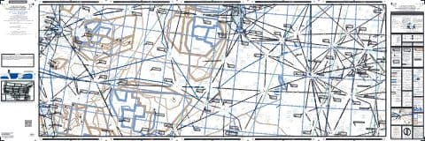
IFR Enroute Low Altitude Chart L-09 (U.S.) — FAA, 2026-10-29
FAA IFR Enroute Charts (public domain)
Public domain

IFR Enroute Low Altitude Chart L-11 (U.S.) — FAA, 2026-10-29
FAA IFR Enroute Charts (public domain)
Public domain
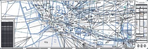
IFR Enroute High Altitude Chart H-04 (U.S.) — FAA, 2026-10-29
FAA IFR Enroute Charts (public domain)
Public domain
Version history
Version 1 · Nov 3, 2026 · 18.3 MB