Forest Service Maps (public domain)
Motor Vehicle Use Maps, Over-Snow Vehicle Use Maps and visitor maps published by USDA Forest Service national forests, republished here as free offline GeoPDFs and kept current when a forest posts a new edition. Forest Service maps are in the public domain. This store is not affiliated with or endorsed by the Forest Service.
237 maps
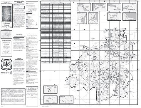
ANF Motor Vehicle Use Map (MVUM) — Allegheny National Forest
Forest Service Maps (public domain) · Allegheny National Forest
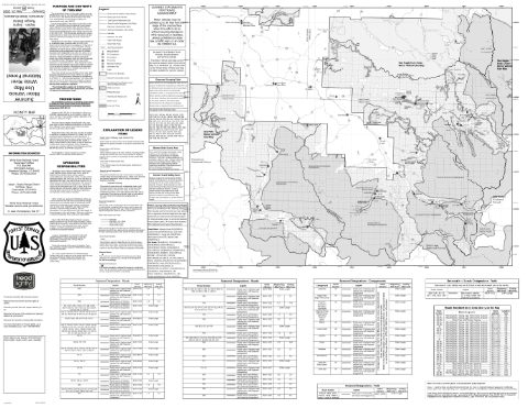
Aspen-Sopris Ranger District Motor Vehicle Use Map (MVUM) — White River National Forest (2026)
Forest Service Maps (public domain) · White River National Forest
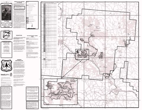
Athens Ranger District Motor Vehicle Use Map — Wayne National Forest (2026)
Forest Service Maps (public domain) · Wayne National Forest
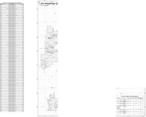
Back: Albion, Black Pine, Raft River & Sublett Divisions Motor Vehicle Use Map (MVUM) — Sawtooth National Forest (2026)
Forest Service Maps (public domain) · Sawtooth National Forest
Back: Fairfield Ranger District Motor Vehicle Use Map (MVUM) — Sawtooth National Forest (2026)
Forest Service Maps (public domain) · Sawtooth National Forest
Back: Redfish Lake, Pettit Lake, and Alturas Lake insets Motor Vehicle Use Map (MVUM) — Sawtooth National Forest (2026)
Forest Service Maps (public domain) · Sawtooth National Forest
Barlow & Hood River Ranger Districts Motor Vehicle Use Map (MVUM) — Mt. Hood National Forest
Forest Service Maps (public domain) · Mt. Hood National Forest
Big Burro Mountains Silver City Motor Vehicle Use Map (MVUM) — Gila National Forest
Forest Service Maps (public domain) · Gila National Forest
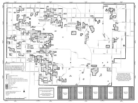
Black Kettle/McClellan Creek - Back Motor Vehicle Use Map (MVUM) — Cibola National Forest and National Grasslands
Forest Service Maps (public domain) · Cibola National Forest and National Grasslands
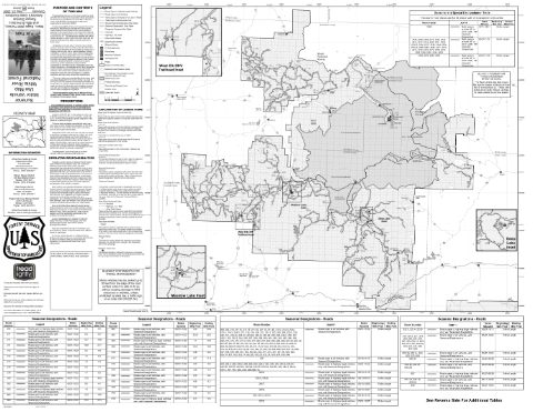
Blanco Ranger District Motor Vehicle Use Map (MVUM) — White River National Forest (2026)
Forest Service Maps (public domain) · White River National Forest
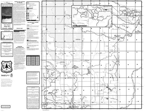
Buffalo Gap National Grassland Motor Vehicle Use Map (MVUM), Fall River Ranger District (2020)
Forest Service Maps (public domain) · Nebraska National Forests and Grasslands
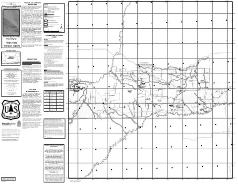
Buffalo Gap National Grassland Motor Vehicle Use Map (MVUM), Wall Ranger District (2024)
Forest Service Maps (public domain) · Nebraska National Forests and Grasslands
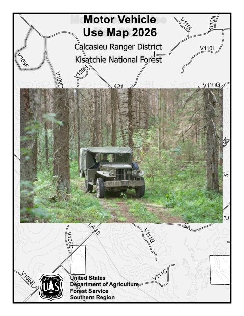
Calcasieu Ranger District Motor Vehicle Use Map — Kisatchie National Forest (2026)
Forest Service Maps (public domain) · Kisatchie National Forest
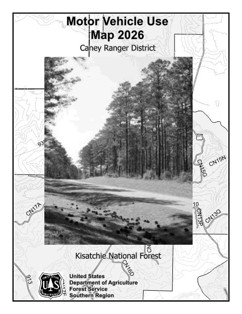
Caney Ranger District Motor Vehicle Use Map — Kisatchie National Forest (2026)
Forest Service Maps (public domain) · Kisatchie National Forest
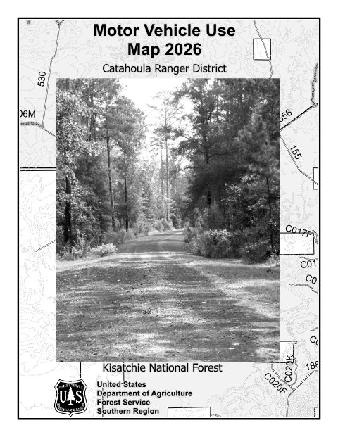
Catahoula Ranger District Motor Vehicle Use Map — Kisatchie National Forest (2026)
Forest Service Maps (public domain) · Kisatchie National Forest
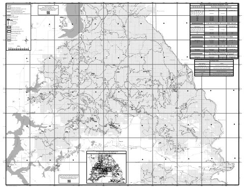
CDA Motor Vehicle Use Map (MVUM) Back — Idaho Panhandle National Forests (2020)
Forest Service Maps (public domain) · Idaho Panhandle National Forests
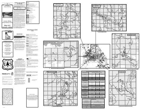
CDA Motor Vehicle Use Map (MVUM) Front — Idaho Panhandle National Forests (2020)
Forest Service Maps (public domain) · Idaho Panhandle National Forests
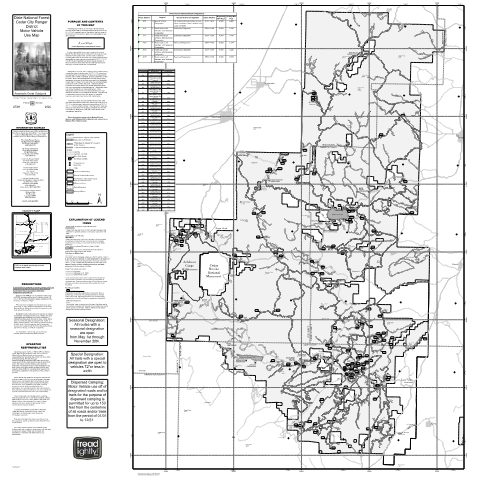
Cedar City Ranger District Motor Vehicle Use Map (MVUM) — Dixie National Forest
Forest Service Maps (public domain) · Dixie National Forest
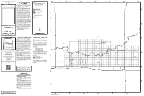
Cedar River National Grassland Motor Vehicle Use Map (MVUM) (2025)
Forest Service Maps (public domain) · Dakota Prairie Grasslands
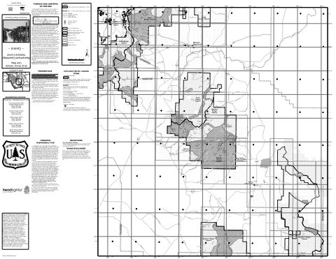
Central East Motor Vehicle Use Map (MVUM) — Beaverhead-Deerlodge National Forest
Forest Service Maps (public domain) · Beaverhead-Deerlodge National Forest
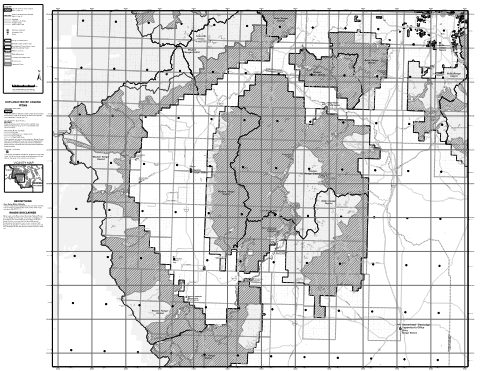
Central West Motor Vehicle Use Map (MVUM) — Beaverhead-Deerlodge National Forest
Forest Service Maps (public domain) · Beaverhead-Deerlodge National Forest
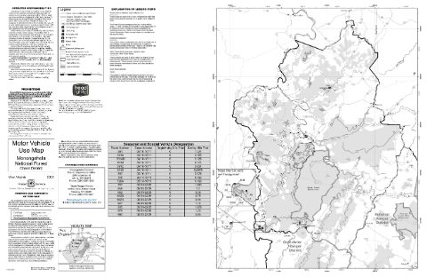
Cheat Ranger District Motor Vehicle Use Map (MVUM) — Monongahela National Forest (2025)
Forest Service Maps (public domain) · Monongahela National Forest
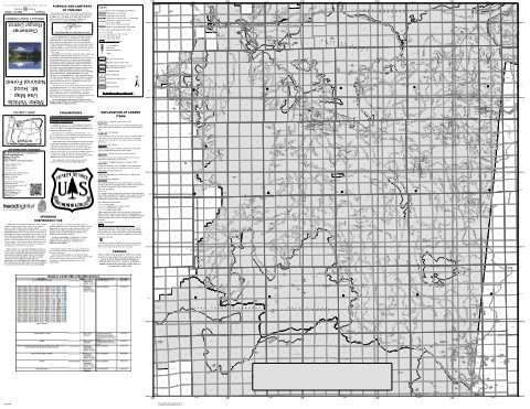
Clackamas River Ranger District Motor Vehicle Use Map (MVUM) — Mt. Hood National Forest (2025)
Forest Service Maps (public domain) · Mt. Hood National Forest

Clinch Motor Vehicle Use Map (MVUM) — George Washington and Jefferson National Forests
Forest Service Maps (public domain) · George Washington and Jefferson National Forests
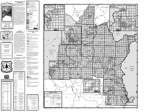
Columbine District Motor Vehicle Use Map (MVUM) — San Juan National Forest (2026)
Forest Service Maps (public domain) · San Juan National Forest
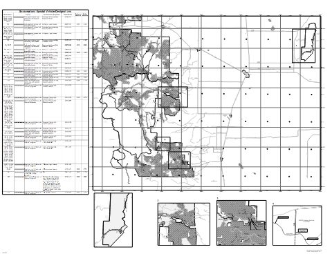
Conejos Peak Ranger District - East Motor Vehicle Use Map (MVUM) — Rio Grande National Forest (2025)
Forest Service Maps (public domain) · Rio Grande National Forest
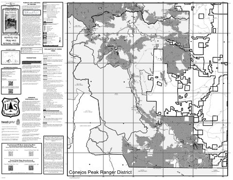
Conejos Peak Ranger District - West Motor Vehicle Use Map (MVUM) — Rio Grande National Forest (2025)
Forest Service Maps (public domain) · Rio Grande National Forest
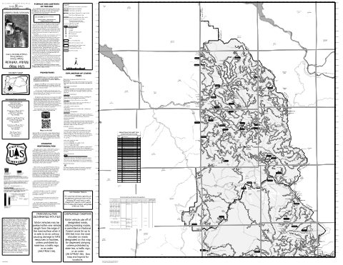
Cottage Grove Ranger District Motor Vehicle Use Map (MVUM) — Umpqua National Forest (2024)
Forest Service Maps (public domain) · Umpqua National Forest
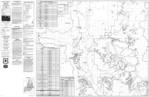
Darby Ranger District Motor Vehicle Use Map (MVUM) — Bitterroot National Forest (2026)
Forest Service Maps (public domain) · Bitterroot National Forest

Deschutes Motor Vehicle Use Map 1 — Deschutes National Forest
Forest Service Maps (public domain) · Deschutes National Forest

Deschutes Motor Vehicle Use Map 2 — Deschutes National Forest
Forest Service Maps (public domain) · Deschutes National Forest

Deschutes Motor Vehicle Use Map 3 — Deschutes National Forest
Forest Service Maps (public domain) · Deschutes National Forest

Deschutes Motor Vehicle Use Map 4 — Deschutes National Forest
Forest Service Maps (public domain) · Deschutes National Forest

Deschutes Motor Vehicle Use Map 5 — Deschutes National Forest
Forest Service Maps (public domain) · Deschutes National Forest

Deschutes Motor Vehicle Use Map 6 — Deschutes National Forest
Forest Service Maps (public domain) · Deschutes National Forest

Deschutes Motor Vehicle Use Map 7 — Deschutes National Forest
Forest Service Maps (public domain) · Deschutes National Forest

Deschutes Motor Vehicle Use Map 8 — Deschutes National Forest
Forest Service Maps (public domain) · Deschutes National Forest

Deschutes Motor Vehicle Use Map 9 — Deschutes National Forest
Forest Service Maps (public domain) · Deschutes National Forest
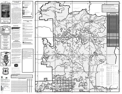
Detroit Ranger District Motor Vehicle Use Map (MVUM) — Willamette National Forest (2025)
Forest Service Maps (public domain) · Willamette National Forest
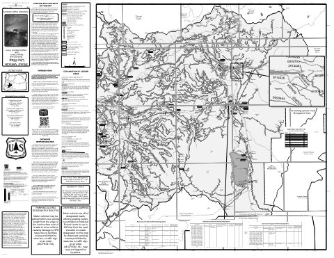
Diamond Lake Ranger District - East Motor Vehicle Use Map (MVUM) — Umpqua National Forest (2024)
Forest Service Maps (public domain) · Umpqua National Forest

Diamond Lake Ranger District - West Motor Vehicle Use Map (MVUM) — Umpqua National Forest (2024)
Forest Service Maps (public domain) · Umpqua National Forest
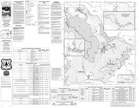
Dillon Ranger District Motor Vehicle Use Map (MVUM) — White River National Forest (2026)
Forest Service Maps (public domain) · White River National Forest
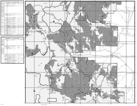
Divide Ranger District - East Motor Vehicle Use Map (MVUM) — Rio Grande National Forest (2025)
Forest Service Maps (public domain) · Rio Grande National Forest
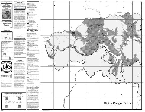
Divide Ranger District - West Motor Vehicle Use Map (MVUM) — Rio Grande National Forest (2025)
Forest Service Maps (public domain) · Rio Grande National Forest
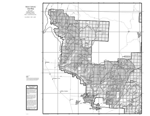
Dolores District Hunting Season Game Retrieval Motor Vehicle Use Map (MVUM) — San Juan National Forest (2026)
Forest Service Maps (public domain) · San Juan National Forest
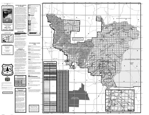
Dolores District Motor Vehicle Use Map — San Juan National Forest (2026)
Forest Service Maps (public domain) · San Juan National Forest
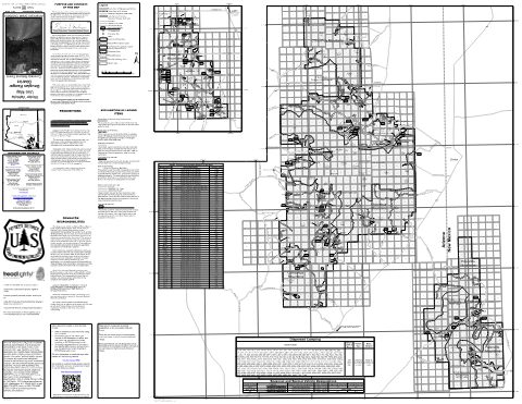
Douglas Ranger District Motor Vehicle Use Map (MVUM) — Coronado National Forest
Forest Service Maps (public domain) · Coronado National Forest
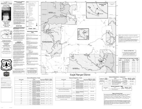
Eagle-Holy Cross Ranger District Motor Vehicle Use Map (MVUM) — White River National Forest (2026)
Forest Service Maps (public domain) · White River National Forest