Nevada North public land hunting map: National Forest and BLM
by Cartahaven Maps · Nevada, US
$4.99
Plus applicable tax, added at checkout.
The publisher’s GeoPDF for offline GPS in the Cartahaven app, with free updates. Refund within 14 days if it doesn’t work as described (refund policy). How it works offline
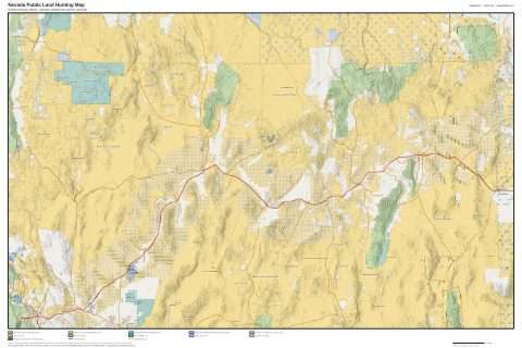
This listing is one map: the North region of Nevada. Shows BLM, National Forest and other public land ownership and public access (USGS PAD-US 4.1, 2024), USGS topographic shading, contours and peak names, and major roads (Census TIGER/Line 2024). Georeferenced for use in the Cartahaven offline map app, so your GPS dot shows on the map. Labels are sharp vector text. Land ownership lines are not a legal boundary: check the current Nevada Department of Wildlife regulations and confirm land status on the ground before you hunt. Hunt unit boundaries are not included. Price $4.99 each, $11.99 for all three regions.
What you get
- Your GPS position on the map. A blue dot on this publisher’s sheet shows where you are.
- Works with no signal. Download it once; the map and your GPS position keep working with no cell signal.
- Tracks, placemarks and photos. Record where you go, drop pins, and export GPX, KML or GeoJSON.
- Free updates. When a new edition is published here, it’s yours at no cost.
- 1Buy it once for $4.99: it’s saved to your account.
- 2Open the Cartahaven app on your phone and sign in.
- 3Tap “Get my maps”. It’s on your phone, ready offline.
The app runs on iPhone, Android and in desktop browsers. Install it · How offline GPS works
Where this map covers
More maps of Nevada.
Maps nearby
More maps around here ›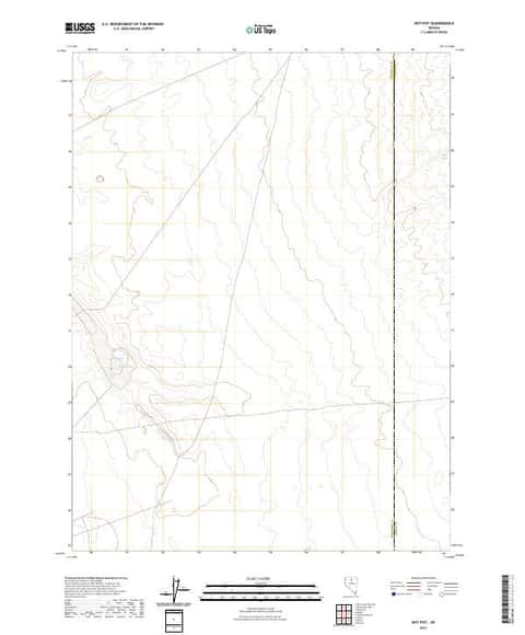
Hot Pot, NV
Detailed map of terrain, trails and roads
USGS topo, 2021
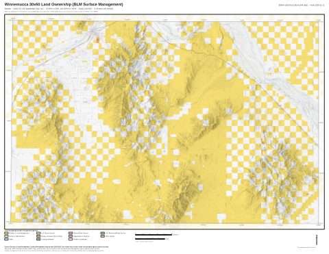
Winnemucca 30x60 Land Ownership (BLM Surface Management)
Land Ownership Maps from BLM Data · Nevada

Nevada Surface Management Map
BLM Nevada (2023)

Battle Mountain 30x60 Land Ownership (BLM Surface Management)
Land Ownership Maps from BLM Data · Nevada
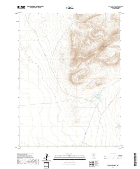
Izzenhood Ranch, NV
Detailed map of terrain, trails and roads
USGS topo, 2021

Osgood Mountains 30x60 Land Ownership (BLM Surface Management)
Land Ownership Maps from BLM Data · Nevada
Version history
Version 1 · Nov 17, 2026 · 3.7 MB