Washington national forest maps
Cartahaven has 28 national forest maps of Washington, all free. Forest visitor maps, motor vehicle use maps and winter travel maps from the USDA Forest Service: which roads and trails are open, to what, and when.
Download one to your phone and the map app shows your GPS position on it with no cell signal.

Colville National Forest
East — Forest Service forest map

Colville National Forest
West — Forest Service forest map

Echo Ridge Winter XC Ski Trails Map
Okanogan-Wenatchee National Forest

Gifford Pinchot National Forest
Forest Service forest map

Kaniksu Motor Vehicle Use Map (MVUM) Front
Forest roads and trails open to vehicles
Idaho Panhandle National Forests (2019)

Lake Wenatchee and Entiat Valley Groomed Snowmobile Routes Map
Okanogan-Wenatchee National Forest

Map 16 Motor Vehicle Use Map (MVUM)
Forest roads and trails open to vehicles
Umatilla National Forest (2026)

Map 18 Motor Vehicle Use Map (MVUM)
Forest roads and trails open to vehicles
Umatilla National Forest (2026)

Map 19 Motor Vehicle Use Map (MVUM)
Forest roads and trails open to vehicles
Umatilla National Forest (2026)

Map 20 Motor Vehicle Use Map (MVUM)
Forest roads and trails open to vehicles
Umatilla National Forest (2026)

Map 21 Motor Vehicle Use Map (MVUM)
Forest roads and trails open to vehicles
Umatilla National Forest (2026)

Motor Vehicle Use Map
Forest roads and trails open to vehicles
Darrington Ranger District — Mount Baker-Snoqualmie National Forest

Motor Vehicle Use Map
Forest roads and trails open to vehicles
Evans Creek Area — Mount Baker-Snoqualmie National Forest

Motor Vehicle Use Map
Forest roads and trails open to vehicles
Mount Baker Ranger District — Mount Baker-Snoqualmie National Forest (2025)

Motor Vehicle Use Map
Forest roads and trails open to vehicles
Skykomish Ranger District — Mount Baker-Snoqualmie National Forest (2025)

Motor Vehicle Use Map
Forest roads and trails open to vehicles
Snoqualmie Ranger District — Mount Baker-Snoqualmie National Forest

Mt. Baker-Snoqualmie National Forest
Forest Service forest map

Motor Vehicle Use Map (MVUM)
Forest roads and trails open to vehicles
Northeast of the Forest — Colville National Forest (2025)

Motor Vehicle Use Map (MVUM)
Forest roads and trails open to vehicles
Northwest of the Forest — Colville National Forest (2025)
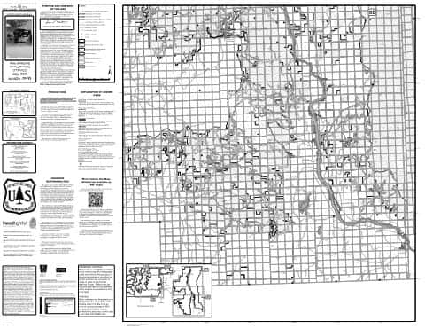
Motor Vehicle Use Map (MVUM)
Forest roads and trails open to vehicles
Southeast of the Forest — Colville National Forest (2025)

Motor Vehicle Use Map (MVUM)
Forest roads and trails open to vehicles
Southwest of the Forest — Colville National Forest (2025)

Okanogan-Wenatchee National Forest
Forest Service forest map

Olympic National Forest
Forest Service forest map

Pacific Ranger District North Motor Vehicle Use Map (MVUM)
Forest roads and trails open to vehicles
Olympic National Forest

Pacific Ranger District South Motor Vehicle Use Map (MVUM)
Forest roads and trails open to vehicles
Olympic National Forest

Tonasket OHV Map Bannon Mtn Motor Vehicle Use Map (MVUM)
Forest roads and trails open to vehicles
Colville National Forest

Tonasket OHV Map Conconully Motor Vehicle Use Map (MVUM)
Forest roads and trails open to vehicles
Colville National Forest

Tonasket OHV Map Mt Hull Motor Vehicle Use Map (MVUM)
Forest roads and trails open to vehicles
Colville National Forest