Rhode Island USGS topo maps
Cartahaven has 40 USGS topo maps of Rhode Island, all free. These are the current USGS US Topo 7.5-minute (1:24,000) quadrangles: contours, roads, trails, streams and place names, each a GeoPDF.
Download one to your phone and the map app shows your GPS position on it with no cell signal.

Ashaway, RI-CT
Detailed map of terrain, trails and roads
USGS topo, 2024

Attleboro, MA-RI
Detailed map of terrain, trails and roads
USGS topo, 2024

Blackstone, MA-RI
Detailed map of terrain, trails and roads
USGS topo, 2024
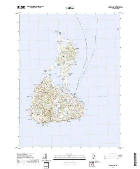
Block Island, RI
Detailed map of terrain, trails and roads
USGS topo, 2024

Bristol, RI-MA
Detailed map of terrain, trails and roads
USGS topo, 2024

Carolina, RI
Detailed map of terrain, trails and roads
USGS topo, 2024

Chepachet, RI
Detailed map of terrain, trails and roads
USGS topo, 2024

Clayville, RI
Detailed map of terrain, trails and roads
USGS topo, 2024

Coventry Center, RI
Detailed map of terrain, trails and roads
USGS topo, 2024

Crompton, RI
Detailed map of terrain, trails and roads
USGS topo, 2024

East Greenwich, RI
Detailed map of terrain, trails and roads
USGS topo, 2024

East Killingly, CT-RI
Detailed map of terrain, trails and roads
USGS topo, 2024

East Providence, RI-MA
Detailed map of terrain, trails and roads
USGS topo, 2024

Fall River, MA-RI
Detailed map of terrain, trails and roads
USGS topo, 2024

Franklin, MA-RI
Detailed map of terrain, trails and roads
USGS topo, 2024

Georgiaville, RI
Detailed map of terrain, trails and roads
USGS topo, 2024

Head of Westport OE S, MA-RI
Detailed map of terrain, trails and roads
USGS topo, 2024

Head of Westport, MA-RI
Detailed map of terrain, trails and roads
USGS topo, 2024

Hope Valley, RI
Detailed map of terrain, trails and roads
USGS topo, 2024

Kingston OE S, RI
Detailed map of terrain, trails and roads
USGS topo, 2024

Kingston, RI
Detailed map of terrain, trails and roads
USGS topo, 2024

Mystic, CT-NY-RI
Detailed map of terrain, trails and roads
USGS topo, 2024

Narragansett Pier OE S, RI
Detailed map of terrain, trails and roads
USGS topo, 2024

Narragansett Pier, RI
Detailed map of terrain, trails and roads
USGS topo, 2024

Newport, RI
Detailed map of terrain, trails and roads
USGS topo, 2024
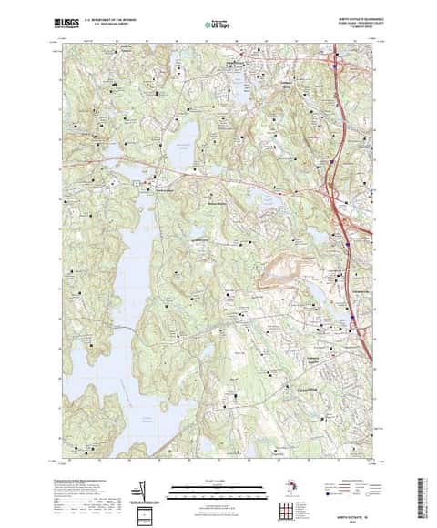
North Scituate, RI
Detailed map of terrain, trails and roads
USGS topo, 2024

Oneco, CT-RI
Detailed map of terrain, trails and roads
USGS topo, 2024
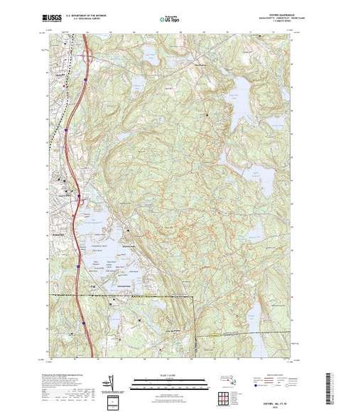
Oxford, MA-CT-RI
Detailed map of terrain, trails and roads
USGS topo, 2024

Pawtucket, RI-MA
Detailed map of terrain, trails and roads
USGS topo, 2024

Providence, RI
Detailed map of terrain, trails and roads
USGS topo, 2024

Prudence Island, RI
Detailed map of terrain, trails and roads
USGS topo, 2024

Quonochontaug, RI
Detailed map of terrain, trails and roads
USGS topo, 2024

Sakonnet Point, RI
Detailed map of terrain, trails and roads
USGS topo, 2024

Slocum, RI
Detailed map of terrain, trails and roads
USGS topo, 2024

Thompson, CT-RI
Detailed map of terrain, trails and roads
USGS topo, 2024

Tiverton, RI-MA
Detailed map of terrain, trails and roads
USGS topo, 2024

Uxbridge, MA-RI
Detailed map of terrain, trails and roads
USGS topo, 2024

Voluntown, CT-RI
Detailed map of terrain, trails and roads
USGS topo, 2024

Watch Hill, RI-CT-NY
Detailed map of terrain, trails and roads
USGS topo, 2024

Wickford, RI
Detailed map of terrain, trails and roads
USGS topo, 2024