New Mexico national forest maps
Cartahaven has 23 national forest maps of New Mexico, all free. Forest visitor maps, motor vehicle use maps and winter travel maps from the USDA Forest Service: which roads and trails are open, to what, and when.
Download one to your phone and the map app shows your GPS position on it with no cell signal.

Amole Cross Country Ski and Bike Trails
Carson National Forest (2018)

Big Burro Mountains Silver City Motor Vehicle Use Map (MVUM)
Forest roads and trails open to vehicles
Gila National Forest

Carson National Forest
East — Forest Service forest map

Carson National Forest
West — Forest Service forest map

Cibola National Forest
East — Forest Service forest map

Cibola National Forest
NW — Forest Service forest map

Cibola National Forest
SW — Forest Service forest map

East Motor Vehicle Use Map (MVUM)
Forest roads and trails open to vehicles
Santa Fe National Forest (2026)

East Side Black Range Silver City Wilderness Back Motor Vehicle Use Map (MVUM)
Forest roads and trails open to vehicles
Gila National Forest
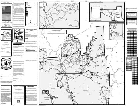
East Side Black Range Silver City Wilderness Front Motor Vehicle Use Map (MVUM)
Forest roads and trails open to vehicles
Gila National Forest

Gila National Forest
Forest Service forest map

Kiowa National Grassland
West, Cibola National Forest — Forest Service forest map

Lincoln National Forest
Forest Service forest map

Magdalena
Forest roads and trails open to vehicles
Back Motor Vehicle Use Map (MVUM) — Cibola National Forest and National Grasslands

Mount Taylor
Forest roads and trails open to vehicles
Back Motor Vehicle Use Map (MVUM) — Cibola National Forest and National Grasslands

Mountainair
Forest roads and trails open to vehicles
Back Motor Vehicle Use Map (MVUM) — Cibola National Forest and National Grasslands

Motor Vehicle Use Map (MVUM)
Forest roads and trails open to vehicles
Carson National Forest

Northwest Motor Vehicle Use Map (MVUM)
Forest roads and trails open to vehicles
Santa Fe National Forest (2026)

Sandia
Forest roads and trails open to vehicles
Back Motor Vehicle Use Map (MVUM) — Cibola National Forest and National Grasslands

Santa Fe National Forest
Forest Service forest map

Southwest Motor Vehicle Use Map (MVUM)
Forest roads and trails open to vehicles
Santa Fe National Forest (2026)

West Side Quemado Reserve Glenwood Back Motor Vehicle Use Map (MVUM)
Forest roads and trails open to vehicles
Gila National Forest
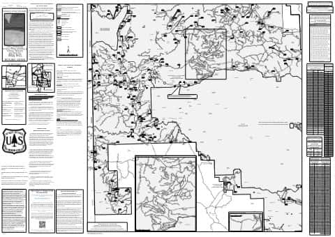
West Side Quemado Reserve Glenwood Front Motor Vehicle Use Map (MVUM)
Forest roads and trails open to vehicles
Gila National Forest