Maine USGS topo maps
Cartahaven has 728 USGS topo maps of Maine, all free. These are the current USGS US Topo 7.5-minute (1:24,000) quadrangles: contours, roads, trails, streams and place names, each a GeoPDF.
Download one to your phone and the map app shows your GPS position on it with no cell signal.

Abol Pond, ME
Detailed map of terrain, trails and roads
USGS topo, 2024

Addison, ME
Detailed map of terrain, trails and roads
USGS topo, 2024

Albion, ME
Detailed map of terrain, trails and roads
USGS topo, 2024

Alder Brook, ME
Detailed map of terrain, trails and roads
USGS topo, 2024

Alfred, ME
Detailed map of terrain, trails and roads
USGS topo, 2024
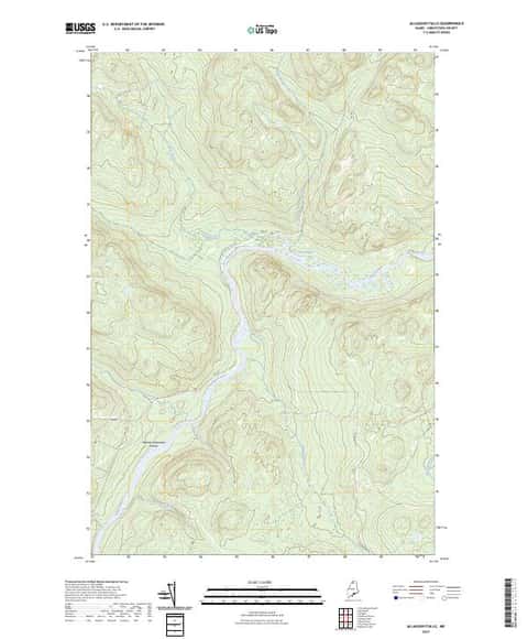
Allagash Falls, ME
Detailed map of terrain, trails and roads
USGS topo, 2024

Allagash Lake, ME
Detailed map of terrain, trails and roads
USGS topo, 2024

Allagash Pond, ME
Detailed map of terrain, trails and roads
USGS topo, 2024

Allagash, ME
Detailed map of terrain, trails and roads
USGS topo, 2024

Alligator Lake, ME
Detailed map of terrain, trails and roads
USGS topo, 2024

Amherst, ME
Detailed map of terrain, trails and roads
USGS topo, 2024

Andover, ME
Detailed map of terrain, trails and roads
USGS topo, 2024

Ashland, ME
Detailed map of terrain, trails and roads
USGS topo, 2024

Athens, ME
Detailed map of terrain, trails and roads
USGS topo, 2024

Attean Pond, ME
Detailed map of terrain, trails and roads
USGS topo, 2024

Augusta, ME
Detailed map of terrain, trails and roads
USGS topo, 2024

B Pond, ME
Detailed map of terrain, trails and roads
USGS topo, 2024

Bailey Island, ME
Detailed map of terrain, trails and roads
USGS topo, 2024

Baker Island, ME
Detailed map of terrain, trails and roads
USGS topo, 2024

Baker Lake NW, ME
Detailed map of terrain, trails and roads
USGS topo, 2024

Baker Lake, ME
Detailed map of terrain, trails and roads
USGS topo, 2024

Bald Mountain Pond, ME
Detailed map of terrain, trails and roads
USGS topo, 2024

Bangor, ME
Detailed map of terrain, trails and roads
USGS topo, 2024

Bar Harbor, ME
Detailed map of terrain, trails and roads
USGS topo, 2024

Bar Mills, ME
Detailed map of terrain, trails and roads
USGS topo, 2024

Barren Mountain East, ME
Detailed map of terrain, trails and roads
USGS topo, 2024

Barren Mountain West, ME
Detailed map of terrain, trails and roads
USGS topo, 2024

Bartlett Island, ME
Detailed map of terrain, trails and roads
USGS topo, 2024

Basin Mountain, ME
Detailed map of terrain, trails and roads
USGS topo, 2024

Bass Harbor, ME
Detailed map of terrain, trails and roads
USGS topo, 2024

Bath, ME
Detailed map of terrain, trails and roads
USGS topo, 2024

Bean Pot Pond, ME
Detailed map of terrain, trails and roads
USGS topo, 2024

Beau Lake, ME-QC-NB
Detailed map of terrain, trails and roads
USGS topo, 2024

Beaver Pond SE, ME
Detailed map of terrain, trails and roads
USGS topo, 2024

Beech Hill Pond, ME
Detailed map of terrain, trails and roads
USGS topo, 2024

Beetle Mountain, ME
Detailed map of terrain, trails and roads
USGS topo, 2024

Belfast, ME
Detailed map of terrain, trails and roads
USGS topo, 2024

Belgrade Lakes, ME
Detailed map of terrain, trails and roads
USGS topo, 2024

Belgrade, ME
Detailed map of terrain, trails and roads
USGS topo, 2024

Benedicta, ME
Detailed map of terrain, trails and roads
USGS topo, 2024

Bethel, ME
Detailed map of terrain, trails and roads
USGS topo, 2024

Biddeford Pool, ME
Detailed map of terrain, trails and roads
USGS topo, 2024

Biddeford, ME
Detailed map of terrain, trails and roads
USGS topo, 2024

Big Black Rapids, ME
Detailed map of terrain, trails and roads
USGS topo, 2024

Big Brook Lake, ME
Detailed map of terrain, trails and roads
USGS topo, 2024

Big Lake, ME
Detailed map of terrain, trails and roads
USGS topo, 2024

Big Machias Lake, ME
Detailed map of terrain, trails and roads
USGS topo, 2024

Big Moose Pond, ME
Detailed map of terrain, trails and roads
USGS topo, 2024