Illinois national forest maps
Cartahaven has 4 national forest maps of Illinois, all free. Forest visitor maps, motor vehicle use maps and winter travel maps from the USDA Forest Service: which roads and trails are open, to what, and when.
Download one to your phone and the map app shows your GPS position on it with no cell signal.

Hidden Springs District Motor Vehicle Use Map (MVUM)
Forest roads and trails open to vehicles
Shawnee National Forest

Midewin National Tallgrass Prairie
Forest Service forest map

Mississippi Bluffs District Motor Vehicle Use Map (MVUM)
Forest roads and trails open to vehicles
Shawnee National Forest
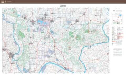
Shawnee National Forest
Forest Service forest map