Idaho national forest maps
Cartahaven has 39 national forest maps of Idaho, all free. Forest visitor maps, motor vehicle use maps and winter travel maps from the USDA Forest Service: which roads and trails are open, to what, and when.
Download one to your phone and the map app shows your GPS position on it with no cell signal.

Ashton/Island Park Winter Travel Map
Caribou-Targhee National Forest

Avery Groomed Routes Snowmobile Map
Idaho Panhandle National Forests

Back: Albion, Black Pine, Raft River & Sublett Divisions Motor Vehicle Use Map (MVUM)
Forest roads and trails open to vehicles
Sawtooth National Forest (2026)

Back: Fairfield Ranger District Motor Vehicle Use Map (MVUM)
Forest roads and trails open to vehicles
Sawtooth National Forest (2026)

Back: Redfish Lake, Pettit Lake, and Alturas Lake insets Motor Vehicle Use Map (MVUM)
Forest roads and trails open to vehicles
Sawtooth National Forest (2026)

Boise National Forest
Forest Service forest map

Caribou-Targhee National Forest
Caribou — Forest Service forest map

Caribou-Targhee National Forest
Targhee — Forest Service forest map
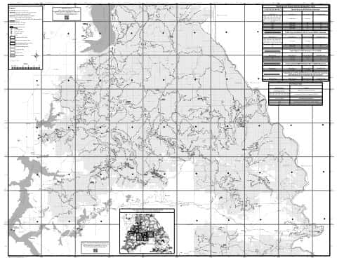
CDA Motor Vehicle Use Map (MVUM) Back
Forest roads and trails open to vehicles
Idaho Panhandle National Forests (2020)

CDA Motor Vehicle Use Map (MVUM) Front
Forest roads and trails open to vehicles
Idaho Panhandle National Forests (2020)

Clarkia Groomed Routes Snowmobile Map
Idaho Panhandle National Forests

Idaho Panhandle National Forests
Forest Service forest map

Index Over-Snow Vehicle Use Map
Where snowmobiles are allowed
Nez Perce-Clearwater National Forests

Kaniksu Motor Vehicle Use Map (MVUM) Back
Forest roads and trails open to vehicles
Idaho Panhandle National Forests (2019)

Lava Fire Closure Snowmobile Map
Payette National Forest (2024)

Map #1
Where snowmobiles are allowed
Palouse Ranger District Over-Snow Vehicle Use Map — Nez Perce-Clearwater National Forests (2018)

Map #2
Where snowmobiles are allowed
North Fork Area Over-Snow Vehicle Use Map — Nez Perce-Clearwater National Forests (2018)

Map #3
Where snowmobiles are allowed
Lochsa Area Over-Snow Vehicle Use Map — Nez Perce-Clearwater National Forests (2018)

Montpelier Winter Travel Map
Caribou-Targhee National Forest

Mount Jefferson Area Winter Motorized Use Status Map
Beaverhead-Deerlodge National Forest

Mountain Home District
Snowmobile Groomed Trails Map — Boise National Forest (2019)

Nez Perce-Clearwater National Forest
Forest Service forest map

North Zone Over-Snow Vehicle Use Map
Where snowmobiles are allowed
Salmon-Challis National Forest (2024)

Palisades and Teton Basin Winter Travel Map
Caribou-Targhee National Forest

Palisades Winter Travel Map
Caribou-Targhee National Forest

Payette National Forest
Forest Service forest map

Payette Winter Travel Map
Payette National Forest (2019)

Salmon-Challis National Forest
North — Forest Service forest map

Salmon-Challis National Forest
South — Forest Service forest map

Sawtooth National Forest
North — Forest Service forest map

Sawtooth National Forest
South — Forest Service forest map

Soda Springs Winter Travel Map
Caribou-Targhee National Forest

South Zone Over-Snow Vehicle Use Map
Where snowmobiles are allowed
Salmon-Challis National Forest (2024)

St. Joe Motor Vehicle Use Map (MVUM) Back
Forest roads and trails open to vehicles
Idaho Panhandle National Forests (2021)

St. Joe Motor Vehicle Use Map (MVUM) Front
Forest roads and trails open to vehicles
Idaho Panhandle National Forests

Teton Basin Winter Travel Map
Caribou-Targhee National Forest

West Fork Ranger District Motor Vehicle Use Map (MVUM)
Forest roads and trails open to vehicles
Bitterroot National Forest (2026)

Westside Winter Travel Map
Caribou-Targhee National Forest

Williams Creek Summit Cross-Country Ski Trails Map
Salmon-Challis National Forest (2023)