Chugwater 30x60 Wyoming Walk-In and Hunter Management Areas
by Wyoming Walk-In and Hunter Management Area Maps (from WGFD open data) · Wyoming, US
Free
A free GeoPDF for offline GPS in the Cartahaven app, with free updates. How it works offline

Wyoming's Walk-In Hunting, Hunter Management, Walk-In Fishing, Wildlife Habitat Management and Public Access Areas on the Chugwater 30 x 60 minute (1:100,000) USGS quadrangle (41104-E1, 41°30'N to 42°00'N, 105°00'W to 104°00'W): 39 Walk-In Hunting Areas, 2 Public Access Areas, 2 Wildlife Habitat Management Areas. Every area is listed beside the map with its access dates, species and acres, over BLM land ownership colours and the USGS topo map. Georeferenced, so your GPS position shows on it offline: see whether you are inside a walk-in area or on public land.
Areas: Goshen 18, Goshen 19, Goshen 22, Goshen 23, Goshen 24, Goshen 25, Goshen 29, Goshen 52, Goshen 55, Goshen 56, Goshen 58, Goshen 59, Goshen 61, Goshen 63, Goshen 78, Goshen 79, Goshen 81, Goshen 85, Goshen 86, Laramie 18, Platte 17, Platte 19, Platte 20, Platte 21, Platte 23, Platte 33, Platte 37, Platte 38, Platte 44, Platte 45, Platte 46, Platte 48, Platte 49, Platte 51, Platte 53, Platte 54, Platte 56, Platte 59, Platte 62.
Source: Wyoming Game and Fish Department open data, 2025-07-14 (provided "as is", without warranty). Not a WGFD publication; check the department's current maps and posted signs. Made by Cartahaven from the Wyoming Game and Fish Department's open data (https://wyoming-wgfd.opendata.arcgis.com/), with BLM Surface Management Agency data and the USGS National Map (public domain). Not reviewed or endorsed by the department, the BLM or the USGS. Walk-In and HMA areas change every season and have their own rules: HMAs need permission from the department. Rebuilt when the department updates its data.
What you get
- Your GPS position on the map. A blue dot on this official sheet shows where you are.
- Works with no signal. Download it once; the map and your GPS position keep working with no cell signal.
- Tracks, placemarks and photos. Record where you go, drop pins, and export GPX, KML or GeoJSON.
- Free updates. When a new edition is published here, it’s yours at no cost.
- 1Tap “Get this map”: it’s added to your free account.
- 2Open the Cartahaven app on your phone and sign in.
- 3Tap “Get my maps”. It’s on your phone, ready offline.
The app runs on iPhone, Android and in desktop browsers. Install it · How offline GPS works
Where this map covers
More maps of Wyoming.
Hunting & fishingHuntingFishingwyomingwalk inwalk in areashunter management areaspublic accessland ownership100k
Maps nearby
More maps around here ›
Cattail Ranch NE, WY
Detailed map of terrain, trails and roads
USGS topo, 2021
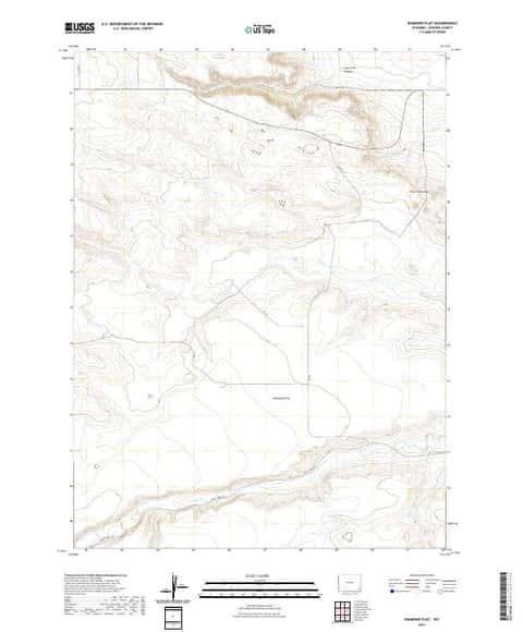
Diamond Flat, WY
Detailed map of terrain, trails and roads
USGS topo, 2021

Needle Rock, WY
Detailed map of terrain, trails and roads
USGS topo, 2021
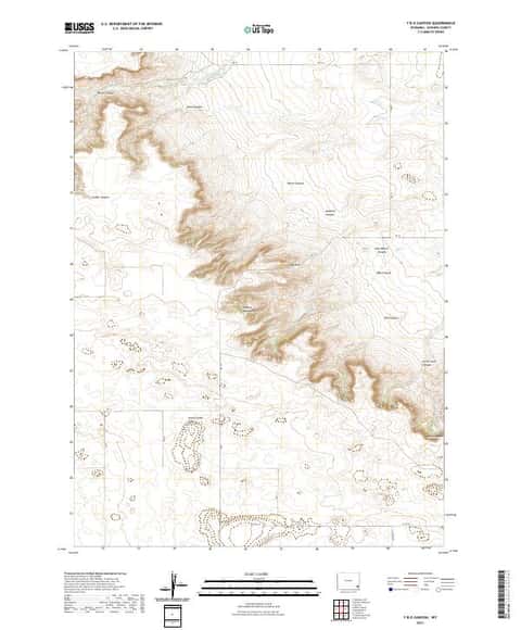
Y B O Canyon, WY
Detailed map of terrain, trails and roads
USGS topo, 2021
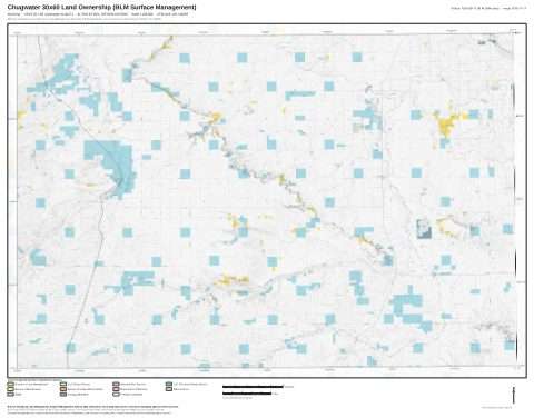
Chugwater 30x60 Land Ownership (BLM Surface Management)
Land Ownership Maps from BLM Data · Wyoming

Wyoming Land Status Map with field office and county boundaries
BLM Wyoming (2020)
Version history
Version 1 · Nov 11, 2026 · 5.7 MB