Yosemite, CA — USGS historical 15-minute topo (1956)
by USGS Historical Topo Maps (public domain) · California, US
A free GeoPDF for offline GPS in the Cartahaven app, with free updates. How it works offline
Try it now, no account needed
Open this map in the Cartahaven map app in your browser and see your GPS position on it.
Older edition. This is the 1956 edition from the U.S. Geological Survey. A newer one may have been published since; check the agency's page for current rules and routes before relying on it.

What you get
- Your GPS position on the map. A blue dot on this official sheet shows where you are.
- Works with no signal. Download it once; the map and your GPS position keep working with no cell signal.
- Tracks, placemarks and photos. Record where you go, drop pins, and export GPX, KML or GeoJSON.
- Free updates. When a new edition is published here, it’s yours at no cost.
- 1Tap “Get this map”: it’s added to your free account.
- 2Open the Cartahaven app on your phone and sign in.
- 3Tap “My purchases” (“Get my maps” before you sign in). It’s on your phone, ready offline.
The app runs on iPhone, Android and in desktop browsers. Install it · How offline GPS works
Where this map covers
Named places on this map
126 named features inside the Yosemite, CA — USGS historical 15-minute topo (1956) sheet, from the USGS Geographic Names Information System. Each one links to every map that shows it.
Peaks and ridges
- Artist Point
- Bear Wallow Spur · ridge
- Bridalveil Moraine · ridge
- Buena Vista Peak
- Cathedral Spires · pillar
- Chowchilla Mountains · range
- Church Tower · pillar
- Clark Point
- Columbia Rock · pillar
- Crocker Point
- Crow Peak
- Devil Peak
- Devils Dance Floor
- Dewey Point
- Eagle Peak
- El Capitan
- El Capitan Moraine · ridge
- Elephant Rock · pillar
- Grizzly Peak
- Gunsight · pillar
- Half Dome
- Henness Ridge · ridge
- Horizon Ridge · ridge
- Horse Ridge · ridge
and 31 more
Lakes, springs and falls
- Black Spring · spring
- Bridalveil Fall · falls
- Buena Vista Lake · lake
- Chilnualna Fall · falls
- Chilnualna Lakes · lake
- Crescent Lake · lake
- Dutchman Lake · lake
- Edson Lake · lake
- El Capitan Meadow · lake
- Emerald Pool · lake
- Fern Spring · spring
- Grouse Lake · lake
- Hart Lakes · lake
- Illilouette Falls · falls
- Iron Spring · spring
- Johnson Lake · lake
- Lost Lake · lake
- Minnow Lake · lake
- Mirror Lake · lake
- Moss Spring · spring
- Nevada Fall · falls
- Ostrander Lake · lake
- Ribbon Fall · falls
- Royal Arch Cascade · falls
and 11 more
Gaps, arches and other landforms
- Ahwahnee Meadow · flat
- Badger Pass · gap
- Battalion Pass · gap
- Biledo Meadow · flat
- Bridalveil Meadow · flat
- Buena Vista Pass · gap
- Cathedral Rocks · cliff
- Diving Board · cliff
- Elevenmile Meadow · flat
- Empire Meadows · flat
- Fireplace Bluffs · cliff
- Glacier Point · cliff
- Happy Isles · island
- Last Chance Meadow · flat
- Leaning Tower · cliff
- Leidig Meadow · flat
and 20 more
Elevations are the USGS 3DEP ground elevation at the named point, rounded; a summit's surveyed height can differ a little.
More maps of Sierra National Forest, Yosemite National Park and California.
Maps nearby
More maps around here ›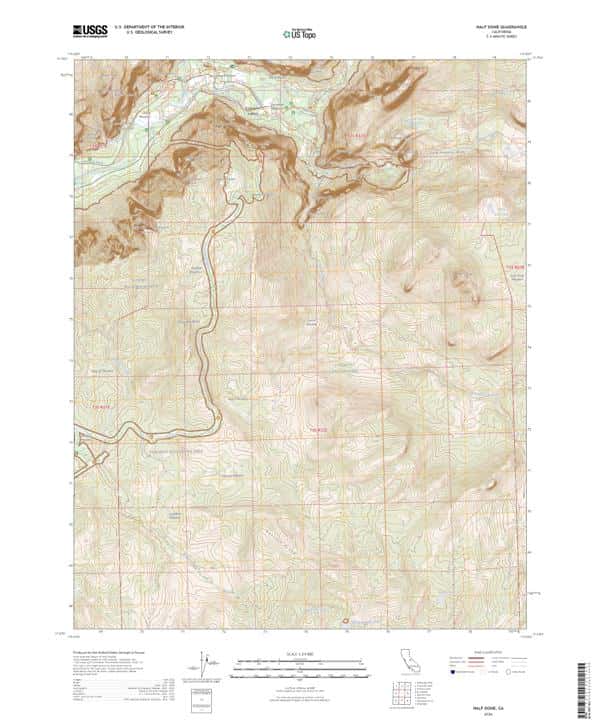
Half Dome, CA — USGS 7.5-minute topo (2026)
USGS Topo Maps (public domain) · California
Public domain
IFR Enroute Low Altitude Chart L-02 (U.S.) — FAA, 2026-10-29
FAA IFR Enroute Charts (public domain)
Public domain

IFR Enroute Low Altitude Chart L-03 (U.S.) — FAA, 2026-10-29
FAA IFR Enroute Charts (public domain)
Public domain
IFR Enroute Low Altitude Chart L-09 (U.S.) — FAA, 2026-10-29
FAA IFR Enroute Charts (public domain)
Public domain

IFR Enroute Low Altitude Chart L-11 (U.S.) — FAA, 2026-10-29
FAA IFR Enroute Charts (public domain)
Public domain
IFR Enroute High Altitude Chart H-04 (U.S.) — FAA, 2026-10-29
FAA IFR Enroute Charts (public domain)
Public domain
Version history
Version 1 · Nov 4, 2026 · 9.3 MB