Agathla Peak, AZ — USGS historical 15-minute topo (1952)
by USGS Historical Topo Maps (public domain) · Arizona, US
A free GeoPDF for offline GPS in the Cartahaven app, with free updates. How it works offline
Try it now, no account needed
Open this map in the Cartahaven map app in your browser and see your GPS position on it.
Older edition. This is the 1952 edition from the U.S. Geological Survey. A newer one may have been published since; check the agency's page for current rules and routes before relying on it.

What you get
- Your GPS position on the map. A blue dot on this official sheet shows where you are.
- Works with no signal. Download it once; the map and your GPS position keep working with no cell signal.
- Tracks, placemarks and photos. Record where you go, drop pins, and export GPX, KML or GeoJSON.
- Free updates. When a new edition is published here, it’s yours at no cost.
- 1Tap “Get this map”: it’s added to your free account.
- 2Open the Cartahaven app on your phone and sign in.
- 3Tap “Get my maps”. It’s on your phone, ready offline.
The app runs on iPhone, Android and in desktop browsers. Install it · How offline GPS works
Where this map covers
Named places on this map
59 named features inside the Agathla Peak, AZ — USGS historical 15-minute topo (1952) sheet, from the USGS Geographic Names Information System. Each one links to every map that shows it.
Peaks and ridges
- Agathla Peak
- Big Chair
- Camel Butte
- Chaistla Butte
- Cly Butte
- Comb Ridge · ridge
- East Mitten Butte
- Elephant Butte
- Gray Hills
- Gray Whiskers
- Hunts Mesa
- Lion Rock
- Meridian Butte
- Merrick Butte
- Mitchell Butte
- Mitchell Mesa
- Owl Rock
- Porras Dikes
- Rain God Mesa
- Spearhead Mesa
- The Hub
- Three Sisters
- Thunderbird Mesa
- Totem Pole · pillar
and 3 more
Lakes, springs and falls
- Dry Lake · lake
- Sand Spring · spring
Gaps, arches and other landforms
- Baby Rocks · cliff
- Big Hogan · arch
- Clara Bernheimer Natural Bridge · arch
- Donut Arch · arch
- Ear of the Wind · arch
- Eye of the Dove · arch
- Eye of the Rabbit · arch
- Four Level Arch · arch
- Full Moon Arch · arch
- Gray Point · cliff
- Hidden Bridge · arch
- Honeymoon Arch · arch
- Hoola Hey Arch · arch
- Lookout Point · cliff
- Moccasin Arch · arch
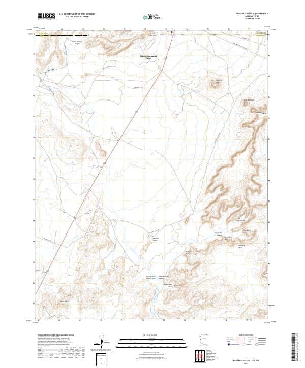
- Mystery Valley · basin
and 14 more
Elevations are the USGS 3DEP ground elevation at the named point, rounded; a summit's surveyed height can differ a little.
More maps of Arizona.
Maps nearby
More maps around here ›


Version history
Version 1 · Nov 4, 2026 · 6.2 MB