USGS Geologic Maps (public domain)
4 maps
USGS geologic maps published with a georeferenced PDF sheet (Scientific Investigations Maps, Open-File Reports and more). Public domain; not affiliated with or endorsed by the USGS.
Cartahaven collected these maps from the public website of the U.S. Geological Survey. The agency does not publish them here and has not reviewed this page.
Are you with the U.S. Geological Survey? Claim this page
Every map here works offline in the Cartahaven app, with your GPS position on the map. Get a map once and keep it; new editions are added here as the agency posts them.
How it works4 maps
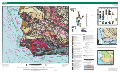
Geologic and geophysical maps of the Santa Maria and part of the Point Conception 30'×60' quadrangles, California — USGS Scientific Investigations Map 3472
USGS Geologic Maps (public domain) · California
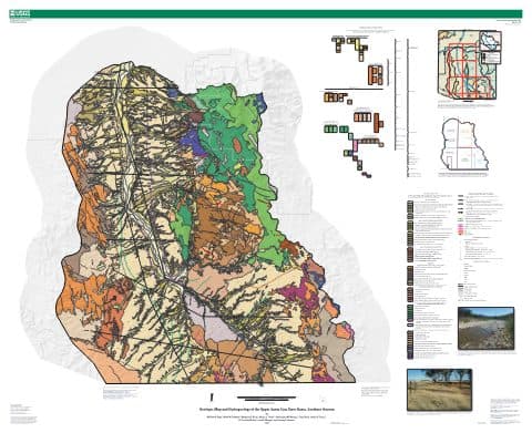
Geologic map and hydrogeologic investigations of the upper Santa Cruz River basin, southern Arizona, sheet 1 — USGS Scientific Investigations Map 3490
USGS Geologic Maps (public domain) · Arizona
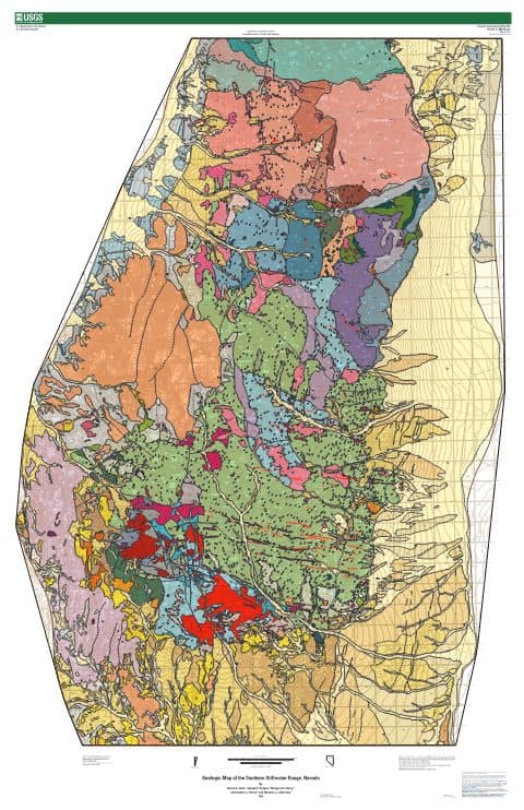
Geologic map of the southern Stillwater Range, Nevada, sheet 1 — USGS Scientific Investigations Map 3521
USGS Geologic Maps (public domain) · Nevada

Surficial geology and Quaternary tectonics of the Madison Valley and fault zone, Madison, Gallatin, and Beaverhead Counties, southwest Montana, sheet 1 — USGS Scientific Investigations Map 3508
USGS Geologic Maps (public domain) · Idaho, Montana, Wyoming