Park Map - North Cascades National Park
by National Park Service Maps (public domain) · North Cascades National Park, US
Free
A free GeoPDF for offline GPS in the Cartahaven app, with free updates. How it works offline

Park Map - North Cascades National Park: official National Park Service map of North Cascades National Park from the NPS Harpers Ferry Center, georeferenced so your GPS position shows on it offline.
National Park Service maps are public domain. Republished unmodified from NPGallery (https://npgallery.nps.gov/AssetDetail/0bce42a6-7aca-4193-8c8a-617f898da42a). This store is not affiliated with or endorsed by the National Park Service.
What you get
- Your GPS position on the map. A blue dot on this official sheet shows where you are.
- Works with no signal. Download it once; the map and your GPS position keep working with no cell signal.
- Tracks, placemarks and photos. Record where you go, drop pins, and export GPX, KML or GeoJSON.
- Free updates. When a new edition is published here, it’s yours at no cost.
- 1Tap “Get this map”: it’s added to your free account.
- 2Open the Cartahaven app on your phone and sign in.
- 3Tap “Get my maps”. It’s on your phone, ready offline.
The app runs on iPhone, Android and in desktop browsers. Install it · How offline GPS works
Where this map covers
More maps of Mt. Baker-Snoqualmie National Forest, North Cascades National Park and Ross Lake National Recreation Area.
Maps nearby
More maps around here ›
Eldorado Peak, WA
Detailed map of terrain, trails and roads
USGS topo, 2023
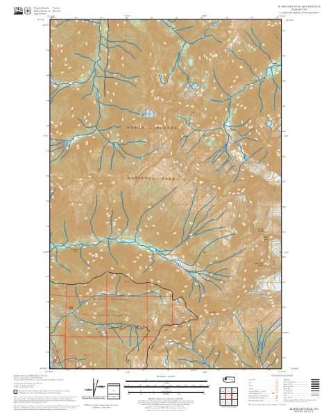
Eldorado Peak
Forest Service topo with road numbers
Forest Service FSTopo 7.5-minute quad

Mount Baker 30x60 Land Ownership (BLM Surface Management)
Land Ownership Maps from BLM Data · Washington

Mt. Baker-Snoqualmie National Forest
Forest Service forest map

Okanogan-Wenatchee National Forest
Forest Service forest map

Forbidden Peak, WA
Detailed map of terrain, trails and roads
USGS topo, 2023
Version history
Version 1 · Nov 6, 2026 · 11.3 MB