Amado, AZ Forest Service Topo Map (FSTopo)
by Forest Service FSTopo Quads (public domain), US
A free GeoPDF for offline GPS in the Cartahaven app, with free updates. How it works offline
About the Amado quad
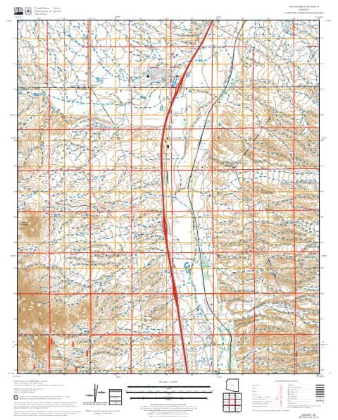
The Amado quadrangle is a Forest Service FSTopo 7.5-minute map at 1:24,000 covering about 8 × 9.2 mi of Santa Cruz County, Arizona. The GeoPDF is 1.4 MB.
What you get
- Your GPS position on the map. A blue dot on this official sheet shows where you are.
- Works with no signal. Download it once; the map and your GPS position keep working with no cell signal.
- Tracks, placemarks and photos. Record where you go, drop pins, and export GPX, KML or GeoJSON.
- Free updates. When a new edition is published here, it’s yours at no cost.
- 1Tap “Get this map”: it’s added to your free account.
- 2Open the Cartahaven app on your phone and sign in.
- 3Tap “Get my maps”. It’s on your phone, ready offline.
The app runs on iPhone, Android and in desktop browsers. Install it · How offline GPS works
Where this map covers
Named places on this map
10 named features inside the Amado — Forest Service FSTopo 7.5-minute quad sheet, from the USGS Geographic Names Information System. Each one links to every map that shows it.
Peaks and ridges
Lakes, springs and falls
- Diablito Spring · spring
- Diablito Tank · reservoir
- Doodlebug Tank · reservoir
- Patterson Tank · reservoir
- Puerto Spring · spring
- Red Tank · reservoir
- Toros Spring · spring
- Tres Puertas Tank · reservoir
Elevations are the USGS 3DEP ground elevation at the named point, rounded; a summit's surveyed height can differ a little.
Maps nearby
More maps around here ›
Amado, AZ
Detailed map of terrain, trails and roads
USGS topo, 2021

Tubac, AZ
Old map for history, not navigation
USGS historical 15-minute topo (1939)

Tubac, AZ
Old map for history, not navigation
USGS historical 15-minute topo (1943)

Tubac, AZ
Old map for history, not navigation
USGS historical 15-minute topo (1957)
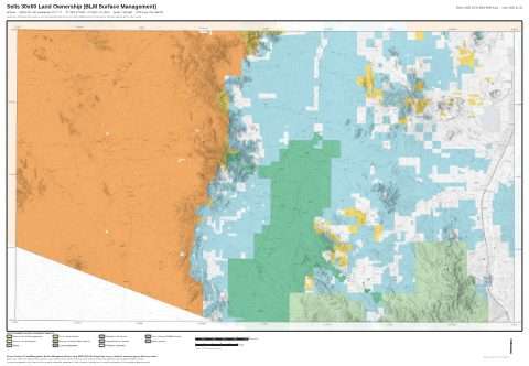
Sells 30x60 Land Ownership (BLM Surface Management)
Land Ownership Maps from BLM Data · Arizona

Nogales & Sierra Vista Ranger Districts
Forest roads and trails open to vehicles
Front Motor Vehicle Use Map (MVUM) — Coronado National Forest
Version history
Version 1 · Nov 6, 2026 · 1.4 MB