Utah Zion hunt unit
Hunt units (big game) · Utah Division of Wildlife Resources
Unit boundary
Simplified for the web from the public layer of Utah Division of Wildlife Resources (source and terms). Units change with each season's regulations, and the legal boundary description in the regulations is what counts.
Legal shooting light this week
Utah's general big-game hours: 30 minutes before sunrise to 30 minutes after sunset, worked out for the middle of the unit (37.340, -113.068) on local time. Times can be a minute or two off at the unit's edges.
| Day | Shooting light starts (MST) | Ends | Sunrise | Sunset |
|---|---|---|---|---|
| 6:26 AM | 6:03 PM | 6:55 AM | 5:33 PM | |
| 6:27 AM | 6:02 PM | 6:56 AM | 5:32 PM | |
| 6:28 AM | 6:01 PM | 6:57 AM | 5:31 PM | |
| 6:29 AM | 6:00 PM | 6:58 AM | 5:30 PM | |
| 6:30 AM | 5:59 PM | 6:59 AM | 5:29 PM | |
| 6:31 AM | 5:58 PM | 7:00 AM | 5:28 PM | |
| 6:32 AM | 5:57 PM | 7:01 AM | 5:27 PM |
Turkey, waterfowl, some public lands and opening days have their own hours. Always check the Utah regulations for your species (where this rule comes from).
Maps that cover this unit
See all maps in this area ›
The Guardian Angels, UT — USGS 7.5-minute topo (2023)
USGS Topo Maps (public domain) · Utah
Public domain
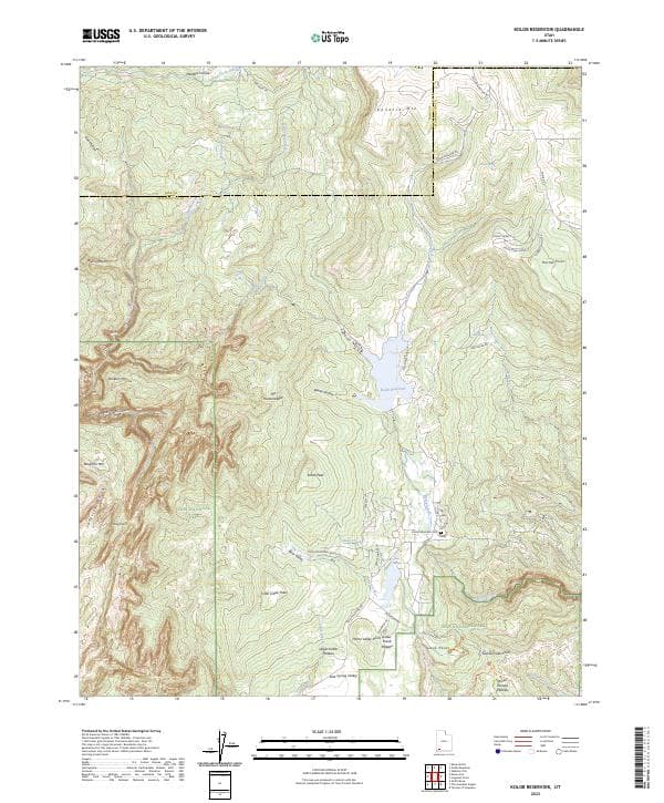
Kolob Reservoir, UT — USGS 7.5-minute topo (2023)
USGS Topo Maps (public domain) · Utah
Public domain

Smith Mesa, UT — USGS 7.5-minute topo (2023)
USGS Topo Maps (public domain) · Utah
Public domain

Temple of Sinawava, UT — USGS 7.5-minute topo (2023)
USGS Topo Maps (public domain) · Utah
Public domain

Kolob Arch, UT — USGS 7.5-minute topo (2023)
USGS Topo Maps (public domain) · Utah
Public domain

Cogswell Point, UT — USGS 7.5-minute topo (2023)
USGS Topo Maps (public domain) · Utah
Public domain
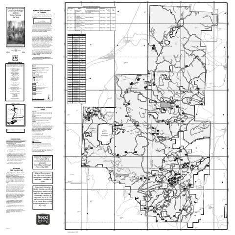
Cedar City Ranger District Motor Vehicle Use Map (MVUM) — Dixie National Forest
Forest Service Maps (public domain) · Dixie National Forest
Public domain

Springdale West, UT — USGS 7.5-minute topo (2023)
USGS Topo Maps (public domain) · Utah
Public domain

Virgin, UT — USGS 7.5-minute topo (2023)
USGS Topo Maps (public domain) · Utah
Public domain

Pine Valley Ranger District Motor Vehicle Use Map (MVUM) — Dixie National Forest
Forest Service Maps (public domain) · Dixie National Forest
Public domain

Springdale East, UT — USGS 7.5-minute topo (2023)
USGS Topo Maps (public domain) · Utah
Public domain

Pintura, UT — USGS 7.5-minute topo (2023)
USGS Topo Maps (public domain) · Utah
Public domain

New Harmony, UT — USGS 7.5-minute topo (2023)
USGS Topo Maps (public domain) · Utah
Public domain

Clear Creek Mountain, UT — USGS 7.5-minute topo (2023)
USGS Topo Maps (public domain) · Utah
Public domain

Straight Canyon, UT — USGS 7.5-minute topo (2023)
USGS Topo Maps (public domain) · Utah
Public domain
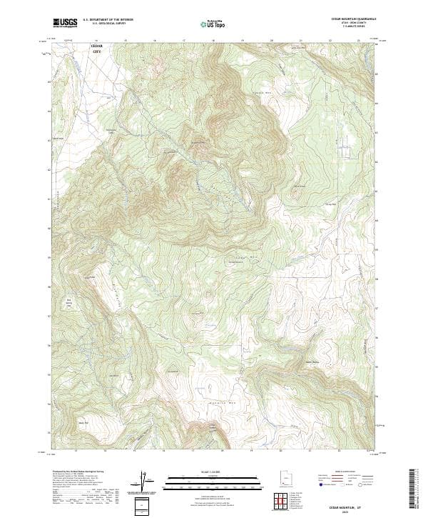
Cedar Mountain, UT — USGS 7.5-minute topo (2023)
USGS Topo Maps (public domain) · Utah
Public domain

Kanarraville, UT — USGS 7.5-minute topo (2023)
USGS Topo Maps (public domain) · Utah
Public domain

Webster Flat, UT — USGS 7.5-minute topo (2023)
USGS Topo Maps (public domain) · Utah
Public domain

Hurricane, UT — USGS 7.5-minute topo (2023)
USGS Topo Maps (public domain) · Utah
Public domain

The Barracks, UT — USGS 7.5-minute topo (2023)
USGS Topo Maps (public domain) · Utah
Public domain
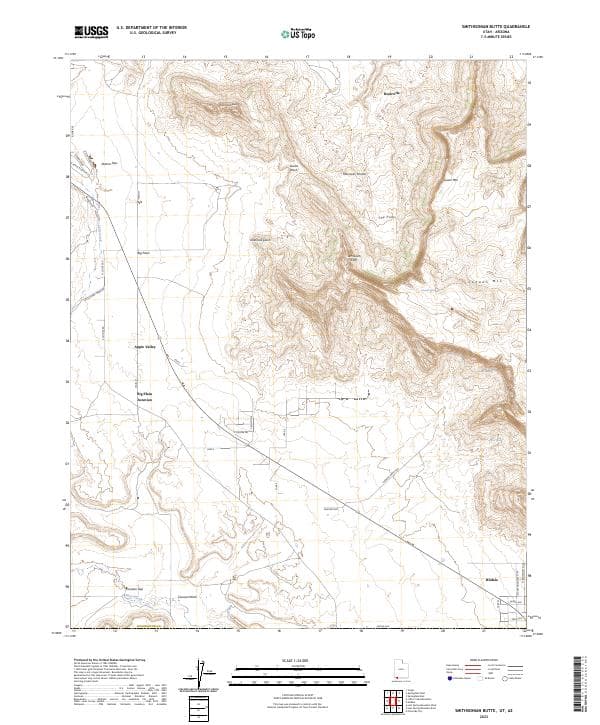
Smithsonian Butte, UT-AZ — USGS 7.5-minute topo (2023)
USGS Topo Maps (public domain) · Utah, Arizona
Public domain

Stoddard Mountain, UT — USGS 7.5-minute topo (2023)
USGS Topo Maps (public domain) · Utah
Public domain

Little Creek Mountain, UT — USGS 7.5-minute topo (2023)
USGS Topo Maps (public domain) · Utah
Public domain
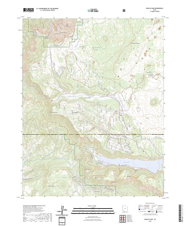
Navajo Lake, UT — USGS 7.5-minute topo (2023)
USGS Topo Maps (public domain) · Utah
Public domain