Utah Fillmore, Oak Creek (cougar) hunt unit
Hunt units (big game) · Utah Division of Wildlife Resources
Unit boundary
Simplified for the web from the public layer of Utah Division of Wildlife Resources (source and terms). Units change with each season's regulations, and the legal boundary description in the regulations is what counts.
Legal shooting light this week
Utah's general big-game hours: 30 minutes before sunrise to 30 minutes after sunset, worked out for the middle of the unit (39.300, -112.370) on local time. Times can be a minute or two off at the unit's edges.
| Day | Shooting light starts (MST) | Ends | Sunrise | Sunset |
|---|---|---|---|---|
| 6:27 AM | 5:57 PM | 6:56 AM | 5:27 PM | |
| 6:28 AM | 5:56 PM | 6:57 AM | 5:26 PM | |
| 6:29 AM | 5:55 PM | 6:58 AM | 5:25 PM | |
| 6:30 AM | 5:54 PM | 6:59 AM | 5:24 PM | |
| 6:31 AM | 5:53 PM | 7:00 AM | 5:23 PM | |
| 6:32 AM | 5:52 PM | 7:01 AM | 5:22 PM | |
| 6:33 AM | 5:51 PM | 7:02 AM | 5:21 PM |
Turkey, waterfowl, some public lands and opening days have their own hours. Always check the Utah regulations for your species (where this rule comes from).
Maps that cover this unit
See all maps in this area ›
Oak City South, UT — USGS 7.5-minute topo (2023)
USGS Topo Maps (public domain) · Utah
Public domain

Harding, UT — USGS 7.5-minute topo (2023)
USGS Topo Maps (public domain) · Utah
Public domain

Duggins Creek, UT — USGS 7.5-minute topo (2023)
USGS Topo Maps (public domain) · Utah
Public domain

McCornick, UT — USGS 7.5-minute topo (2023)
USGS Topo Maps (public domain) · Utah
Public domain

Oak City North, UT — USGS 7.5-minute topo (2023)
USGS Topo Maps (public domain) · Utah
Public domain
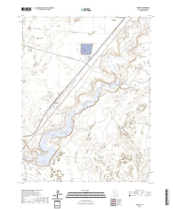
Strong, UT — USGS 7.5-minute topo (2023)
USGS Topo Maps (public domain) · Utah
Public domain
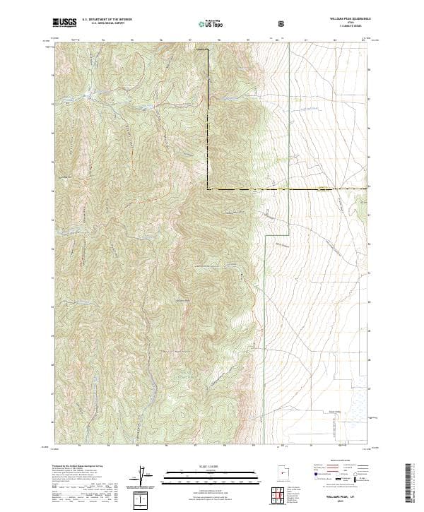
Williams Peak, UT — USGS 7.5-minute topo (2023)
USGS Topo Maps (public domain) · Utah
Public domain

Delta, UT — USGS 7.5-minute topo (2023)
USGS Topo Maps (public domain) · Utah
Public domain

Scipio Pass, UT — USGS 7.5-minute topo (2023)
USGS Topo Maps (public domain) · Utah
Public domain

Pahvant Butte North, UT — USGS 7.5-minute topo (2023)
USGS Topo Maps (public domain) · Utah
Public domain
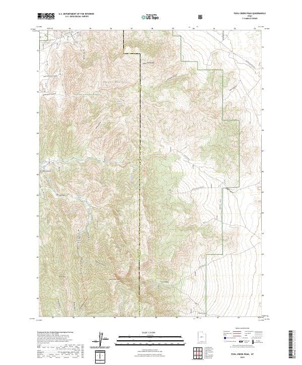
Fool Creek Peak, UT — USGS 7.5-minute topo (2023)
USGS Topo Maps (public domain) · Utah
Public domain

Delta NE, UT — USGS 7.5-minute topo (2023)
USGS Topo Maps (public domain) · Utah
Public domain

Holden, UT — USGS 7.5-minute topo (2023)
USGS Topo Maps (public domain) · Utah
Public domain
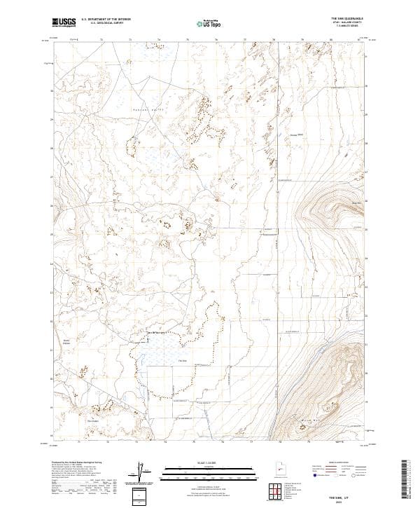
The Sink, UT — USGS 7.5-minute topo (2023)
USGS Topo Maps (public domain) · Utah
Public domain
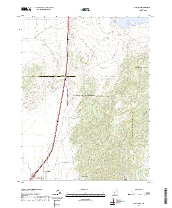
Scipio North, UT — USGS 7.5-minute topo (2023)
USGS Topo Maps (public domain) · Utah
Public domain

Scipio South, UT — USGS 7.5-minute topo (2023)
USGS Topo Maps (public domain) · Utah
Public domain

Hinckley, UT — USGS 7.5-minute topo (2023)
USGS Topo Maps (public domain) · Utah
Public domain

Coffee Peak, UT — USGS 7.5-minute topo (2023)
USGS Topo Maps (public domain) · Utah
Public domain
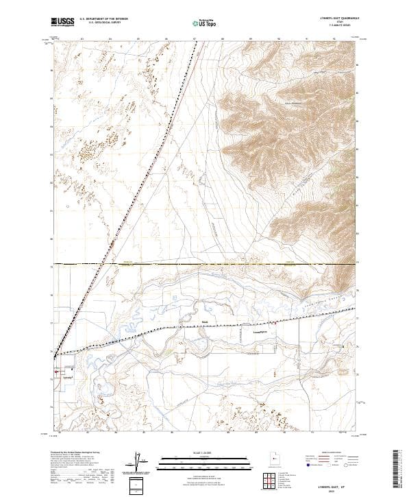
Lynndyl East, UT — USGS 7.5-minute topo (2023)
USGS Topo Maps (public domain) · Utah
Public domain

Lynndyl West, UT — USGS 7.5-minute topo (2023)
USGS Topo Maps (public domain) · Utah
Public domain

Pahvant Butte South, UT — USGS 7.5-minute topo (2023)
USGS Topo Maps (public domain) · Utah
Public domain

Sunstone Knoll, UT — USGS 7.5-minute topo (2023)
USGS Topo Maps (public domain) · Utah
Public domain

Mills, UT — USGS 7.5-minute topo (2023)
USGS Topo Maps (public domain) · Utah
Public domain

Sutherland, UT — USGS 7.5-minute topo (2023)
USGS Topo Maps (public domain) · Utah
Public domain