Montana Hunting District 130
Hunting Districts (deer & elk) · Montana Fish, Wildlife & Parks
Unit boundary
Simplified for the web from the public layer of Montana Fish, Wildlife & Parks (source and terms). Units change with each season's regulations, and the legal boundary description in the regulations is what counts.
Legal shooting light this week
Montana's general big-game hours: 30 minutes before sunrise to 30 minutes after sunset, worked out for the middle of the unit (47.654, -113.776) on local time. Times can be a minute or two off at the unit's edges.
| Day | Shooting light starts (MST) | Ends | Sunrise | Sunset |
|---|---|---|---|---|
| 6:50 AM | 5:45 PM | 7:19 AM | 5:15 PM | |
| 6:52 AM | 5:43 PM | 7:21 AM | 5:13 PM | |
| 6:53 AM | 5:42 PM | 7:22 AM | 5:12 PM | |
| 6:55 AM | 5:40 PM | 7:24 AM | 5:10 PM | |
| 6:56 AM | 5:39 PM | 7:25 AM | 5:09 PM | |
| 6:58 AM | 5:38 PM | 7:27 AM | 5:08 PM | |
| 6:59 AM | 5:36 PM | 7:28 AM | 5:06 PM |
Turkey, waterfowl, some public lands and opening days have their own hours. Always check the Montana regulations for your species (where this rule comes from).
Maps that cover this unit
See all maps in this area ›
Salmon Prairie, MT — USGS 7.5-minute topo (2024)
USGS Topo Maps (public domain) · Montana
Public domain
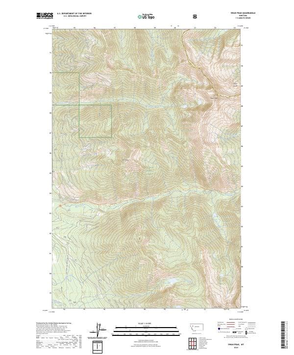
Swan Peak, MT — USGS 7.5-minute topo (2024)
USGS Topo Maps (public domain) · Montana
Public domain
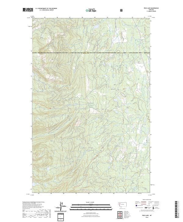
Peck Lake, MT — USGS 7.5-minute topo (2024)
USGS Topo Maps (public domain) · Montana
Public domain
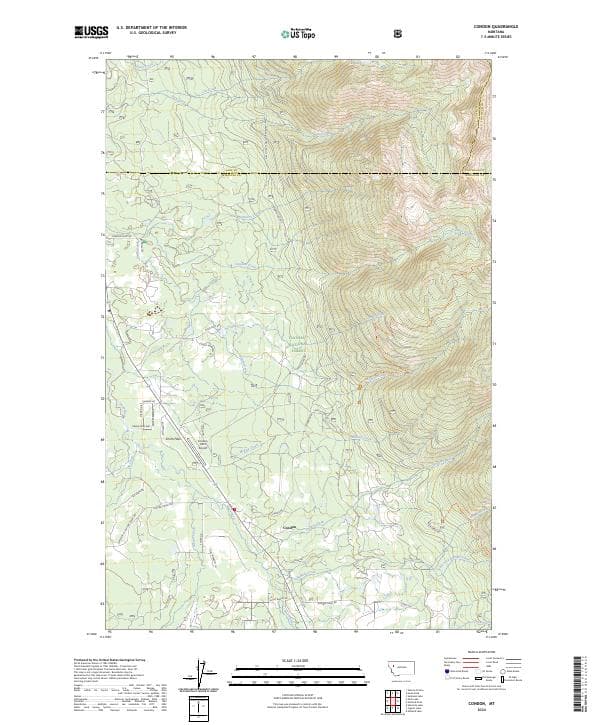
Condon, MT — USGS 7.5-minute topo (2024)
USGS Topo Maps (public domain) · Montana
Public domain
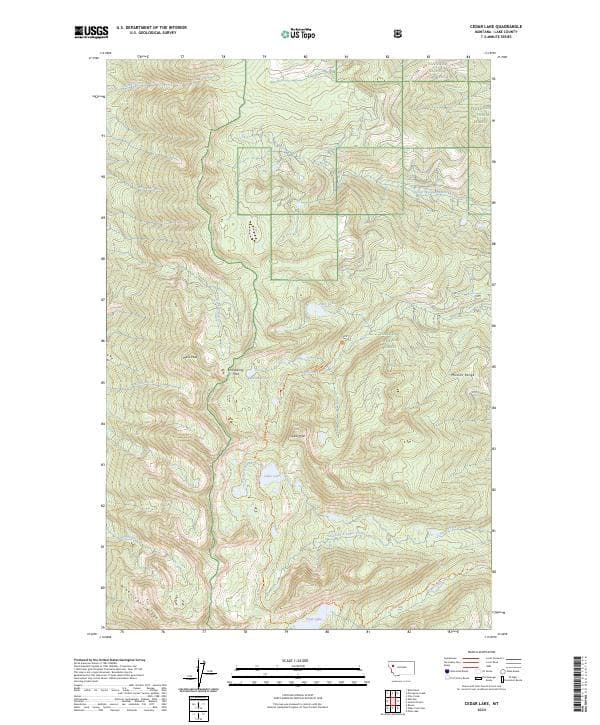
Cedar Lake, MT — USGS 7.5-minute topo (2024)
USGS Topo Maps (public domain) · Montana
Public domain
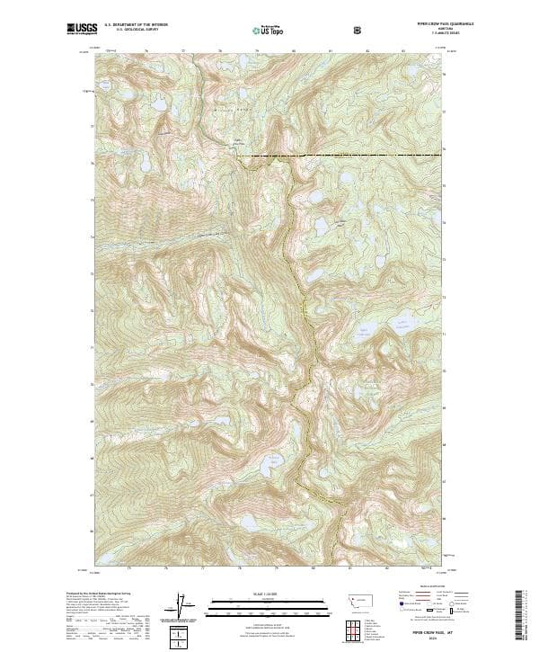
Piper-Crow Pass, MT — USGS 7.5-minute topo (2024)
USGS Topo Maps (public domain) · Montana
Public domain
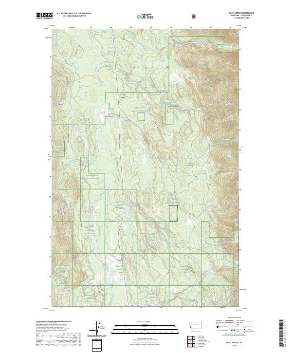
Cilly Creek, MT — USGS 7.5-minute topo (2024)
USGS Topo Maps (public domain) · Montana
Public domain
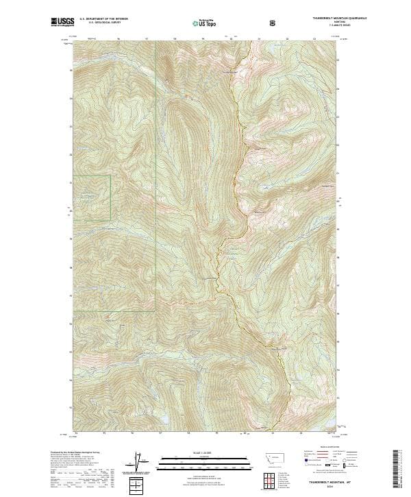
Thunderbolt Mountain, MT — USGS 7.5-minute topo (2024)
USGS Topo Maps (public domain) · Montana
Public domain

Sunburst Lake, MT — USGS 7.5-minute topo (2024)
USGS Topo Maps (public domain) · Montana
Public domain

Holland Peak, MT — USGS 7.5-minute topo (2024)
USGS Topo Maps (public domain) · Montana
Public domain
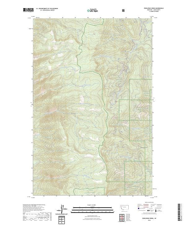
Porcupine Creek, MT — USGS 7.5-minute topo (2024)
USGS Topo Maps (public domain) · Montana
Public domain

Seeley Lake RD Motor Vehicle Use Map (MVUM) — Lolo National Forest
Forest Service Maps (public domain) · Lolo National Forest
Public domain

Seeley Lake Ranger District OSVUM — Lolo National Forest
Forest Service Maps (public domain) · Lolo National Forest
Public domain

String Creek, MT — USGS 7.5-minute topo (2024)
USGS Topo Maps (public domain) · Montana
Public domain
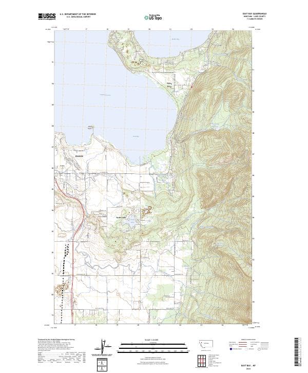
East Bay, MT — USGS 7.5-minute topo (2024)
USGS Topo Maps (public domain) · Montana
Public domain
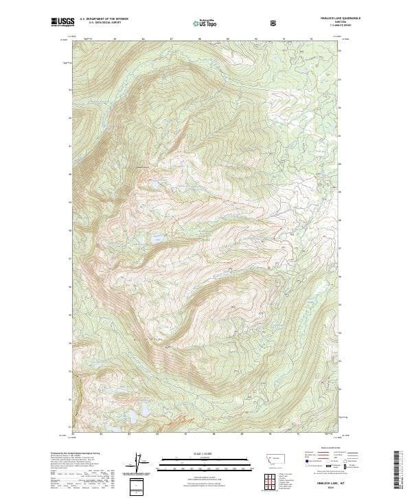
Hemlock Lake, MT — USGS 7.5-minute topo (2024)
USGS Topo Maps (public domain) · Montana
Public domain

Ronan, MT — USGS 7.5-minute topo (2024)
USGS Topo Maps (public domain) · Montana
Public domain
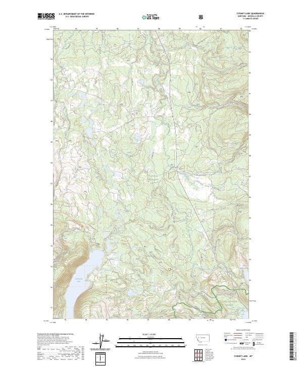
Cygnet Lake, MT — USGS 7.5-minute topo (2024)
USGS Topo Maps (public domain) · Montana
Public domain
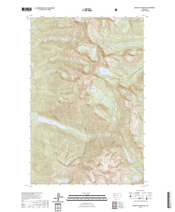
Mount Calowahcan, MT — USGS 7.5-minute topo (2024)
USGS Topo Maps (public domain) · Montana
Public domain
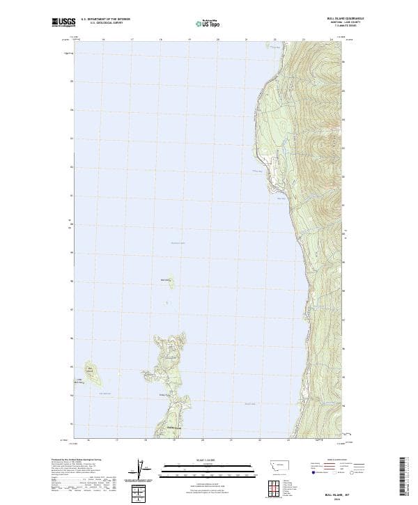
Bull Island, MT — USGS 7.5-minute topo (2024)
USGS Topo Maps (public domain) · Montana
Public domain
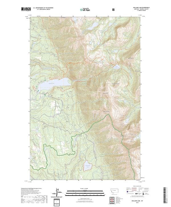
Holland Lake, MT — USGS 7.5-minute topo (2024)
USGS Topo Maps (public domain) · Montana
Public domain

Fort Connah, MT — USGS 7.5-minute topo (2024)
USGS Topo Maps (public domain) · Montana
Public domain

Swan Lake, MT — USGS 7.5-minute topo (2024)
USGS Topo Maps (public domain) · Montana
Public domain

Connor Creek, MT — USGS 7.5-minute topo (2024)
USGS Topo Maps (public domain) · Montana
Public domain