Arkansas Deer Zone Zone 11 (Deer Zone 11)
Deer Zones, Elk Zones, Bear Zones (deer) · Arkansas Game and Fish Commission
Unit boundary
Simplified for the web from the public layer of Arkansas Game and Fish Commission (source and terms). Units change with each season's regulations, and the legal boundary description in the regulations is what counts.
Legal shooting light this week
Arkansas's general big-game hours: 30 minutes before sunrise to 30 minutes after sunset, worked out for the middle of the unit (34.729, -93.608) on local time. Times can be a minute or two off at the unit's edges.
| Day | Shooting light starts (CST) | Ends | Sunrise | Sunset |
|---|---|---|---|---|
| 6:04 AM | 5:49 PM | 6:33 AM | 5:19 PM | |
| 6:05 AM | 5:48 PM | 6:34 AM | 5:18 PM | |
| 6:06 AM | 5:47 PM | 6:35 AM | 5:17 PM | |
| 6:07 AM | 5:47 PM | 6:36 AM | 5:17 PM | |
| 6:08 AM | 5:46 PM | 6:37 AM | 5:16 PM | |
| 6:09 AM | 5:45 PM | 6:38 AM | 5:15 PM | |
| 6:10 AM | 5:44 PM | 6:39 AM | 5:14 PM |
Turkey, waterfowl, some public lands and opening days have their own hours. Always check the Arkansas regulations for your species (where this rule comes from).
Maps that cover this unit
See all maps in this area ›
Story, AR — USGS 7.5-minute topo (2024)
USGS Topo Maps (public domain) · Arkansas
Public domain

Sims, AR — USGS 7.5-minute topo (2024)
USGS Topo Maps (public domain) · Arkansas
Public domain

Chula Mountain, AR — USGS 7.5-minute topo (2024)
USGS Topo Maps (public domain) · Arkansas
Public domain

Little Texas, AR — USGS 7.5-minute topo (2024)
USGS Topo Maps (public domain) · Arkansas
Public domain

Fannie, AR — USGS 7.5-minute topo (2024)
USGS Topo Maps (public domain) · Arkansas
Public domain

Onyx, AR — USGS 7.5-minute topo (2024)
USGS Topo Maps (public domain) · Arkansas
Public domain

Reed Mountain, AR — USGS 7.5-minute topo (2024)
USGS Topo Maps (public domain) · Arkansas
Public domain

Mount Ida, AR — USGS 7.5-minute topo (2024)
USGS Topo Maps (public domain) · Arkansas
Public domain

Brushy Creek Mountain, AR — USGS 7.5-minute topo (2024)
USGS Topo Maps (public domain) · Arkansas
Public domain
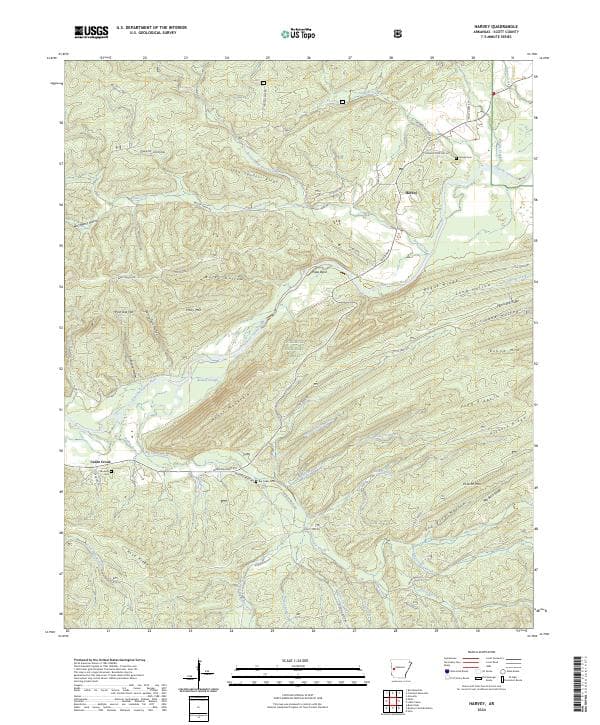
Harvey, AR — USGS 7.5-minute topo (2024)
USGS Topo Maps (public domain) · Arkansas
Public domain

McGraw Mountain, AR — USGS 7.5-minute topo (2024)
USGS Topo Maps (public domain) · Arkansas
Public domain

Bluffton, AR — USGS 7.5-minute topo (2024)
USGS Topo Maps (public domain) · Arkansas
Public domain

Gravelly, AR — USGS 7.5-minute topo (2024)
USGS Topo Maps (public domain) · Arkansas
Public domain
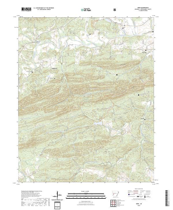
Oden, AR — USGS 7.5-minute topo (2024)
USGS Topo Maps (public domain) · Arkansas
Public domain
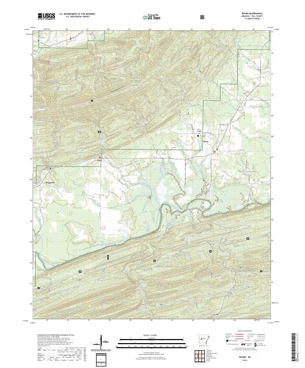
Rover, AR — USGS 7.5-minute topo (2024)
USGS Topo Maps (public domain) · Arkansas
Public domain

Freedom Mountain, AR — USGS 7.5-minute topo (2024)
USGS Topo Maps (public domain) · Arkansas
Public domain

Avant, AR — USGS 7.5-minute topo (2024)
USGS Topo Maps (public domain) · Arkansas
Public domain

Steve, AR — USGS 7.5-minute topo (2024)
USGS Topo Maps (public domain) · Arkansas
Public domain
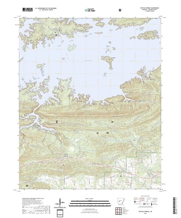
Crystal Springs, AR — USGS 7.5-minute topo (2024)
USGS Topo Maps (public domain) · Arkansas
Public domain

Buck Knob, AR — USGS 7.5-minute topo (2024)
USGS Topo Maps (public domain) · Arkansas
Public domain

Parks, AR — USGS 7.5-minute topo (2024)
USGS Topo Maps (public domain) · Arkansas
Public domain

Caddo Gap, AR — USGS 7.5-minute topo (2024)
USGS Topo Maps (public domain) · Arkansas
Public domain

Norman, AR — USGS 7.5-minute topo (2024)
USGS Topo Maps (public domain) · Arkansas
Public domain

Plainview, AR — USGS 7.5-minute topo (2024)
USGS Topo Maps (public domain) · Arkansas
Public domain