Walnut Gap
Gap in Burke County, North Carolina · on the USGS Benn Knob quadrangle
35.61846, -81.68787
Maps that show Walnut Gap
Get them in the map app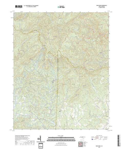
Benn Knob, NC
Detailed map of terrain, trails and roads
USGS topo, 2022

Pisgah National Forest, National Forests in North Carolina
Forest Service forest map

Bureau of Land Management Eastern States Overview map
BLM Eastern States (2019)

IFR Enroute Low Altitude Chart L-25 (U.S.)
FAA, 2026-10-29

IFR Enroute Low Altitude Chart L-36 (U.S.)
FAA, 2026-10-29

IFR Enroute High Altitude Chart H-09 (U.S.)
FAA, 2026-10-29

IFR Enroute High Altitude Chart H-10 (U.S.)
FAA, 2026-10-29

IFR Enroute High Altitude Chart H-12 (U.S.)
FAA, 2026-10-29
Nearby
Name, class, county and location: USGS Geographic Names Information System (public domain).