High Falls
Falls in Transylvania County, North Carolina · on the USGS Standingstone Mountain quadrangle
35.19289, -82.61429
Maps that show High Falls
Get them in the map app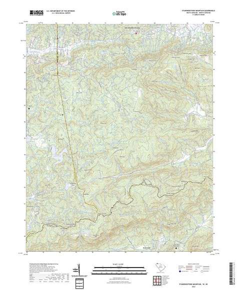
Standingstone Mountain, SC-NC
Detailed map of terrain, trails and roads
USGS topo, 2024

Pisgah National Forest, National Forests in North Carolina
Forest Service forest map

Network to Freedom Brochure Map - National Underground Railroad Network to Freedom Program
National Park Service Maps · National Underground Railroad Network to Freedom Program

Bureau of Land Management Eastern States Overview map
BLM Eastern States (2019)

IFR Enroute Low Altitude Chart L-25 (U.S.)
FAA, 2026-10-29

IFR Enroute High Altitude Chart H-09 (U.S.)
FAA, 2026-10-29

IFR Enroute High Altitude Chart H-10 (U.S.)
FAA, 2026-10-29

IFR Enroute High Altitude Chart H-12 (U.S.)
FAA, 2026-10-29
Nearby
Name, class, county and location: USGS Geographic Names Information System (public domain).