XT Spring
Spring in Eddy County, New Mexico · on the USGS Gunsight Canyon quadrangle
32.00597, -104.62976
Maps that show XT Spring
Get them in the map app
Gunsight Canyon, NM-TX
Detailed map of terrain, trails and roads
USGS topo, 2023

Gunsight Canyon
Forest Service topo with road numbers
Forest Service FSTopo 7.5-minute quad

Carlsbad Caverns West, NM
Old map for history, not navigation
USGS historical 15-minute topo (1940)

Carlsbad Caverns West, NM
Old map for history, not navigation
USGS historical 15-minute topo (1943)

Carlsbad 30x60 Land Ownership (BLM Surface Management)
Land Ownership Maps from BLM Data · New Mexico

Lincoln National Forest
Forest Service forest map
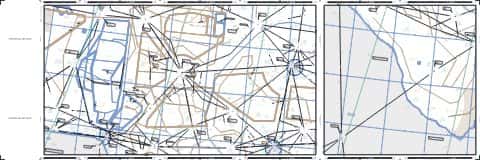
IFR Enroute Low Altitude Chart L-06 (U.S.)
FAA, 2026-10-29

IFR Enroute High Altitude Chart H-06 (U.S.)
FAA, 2026-10-29

IFR Enroute High Altitude Chart H-04 (U.S.)
FAA, 2026-10-29
Name, class, county and location: USGS Geographic Names Information System (public domain).