Maverick Mesa
Bench in Grant County, New Mexico · on the USGS Granny Mountain quadrangle
33.01451, -108.27449
Maps that show Maverick Mesa
Get them in the map app
Granny Mountain, NM
Detailed map of terrain, trails and roads
USGS topo, 2023

Granny Mountain
Forest Service topo with road numbers
Forest Service FSTopo 7.5-minute quad

East Side Black Range Silver City Wilderness Back Motor Vehicle Use Map (MVUM)
Forest roads and trails open to vehicles
Gila National Forest
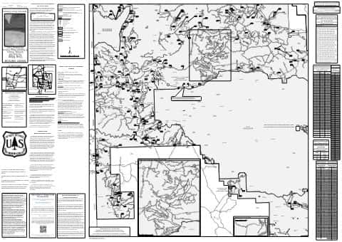
West Side Quemado Reserve Glenwood Front Motor Vehicle Use Map (MVUM)
Forest roads and trails open to vehicles
Gila National Forest

Gila National Forest
Forest Service forest map

IFR Enroute Low Altitude Chart L-05 (U.S.)
FAA, 2026-10-29

IFR Enroute High Altitude Chart H-04 (U.S.)
FAA, 2026-10-29
Nearby
Name, class, county and location: USGS Geographic Names Information System (public domain).