Jefferson Point
Cape in Valley County, Montana · on the USGS Fort Peck quadrangle
48.06363, -106.40087
Maps that show Jefferson Point
Get them in the map app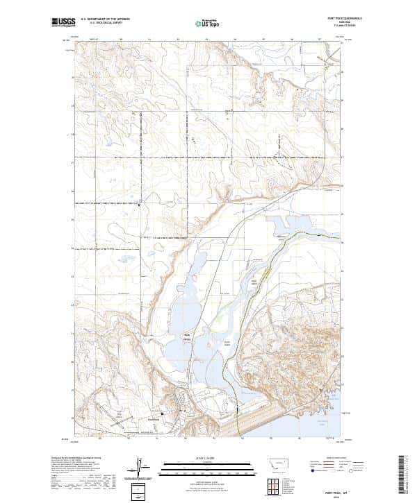
Fort Peck, MT
USGS topo, 2024
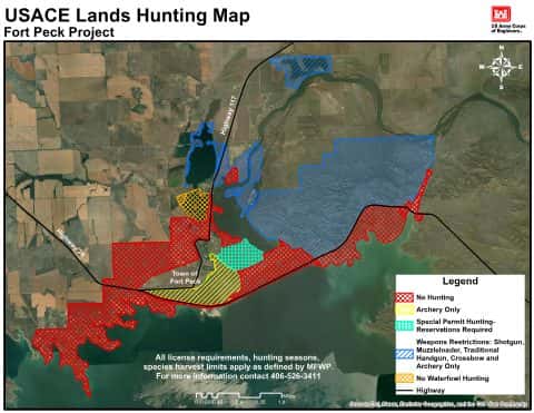
USACE Fort Peck Area Hunting Maps 2026
Charles M. Russell National Wildlife Refuge
Nashua, MT
USGS historical 15-minute topo (1914)
Nashua, MT
USGS historical 15-minute topo (1916)

2024 CMR NWR Guide Map
Charles M. Russell National Wildlife Refuge
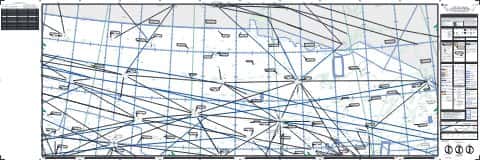
IFR Enroute High Altitude Chart H-02 (U.S.)
FAA, 2026-10-29
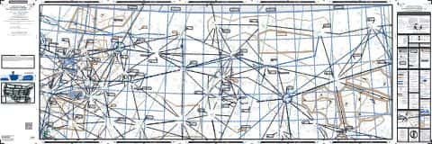
IFR Enroute Low Altitude Chart L-13 (U.S.)
FAA, 2026-10-29
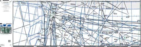
IFR Enroute High Altitude Chart H-01 (U.S.)
FAA, 2026-10-29
Nearby
Name, class, county and location: USGS Geographic Names Information System (public domain).