East Cypress Lake
Reservoir in Lafayette County, Mississippi · on the USGS Denmark quadrangle
34.37363, -89.26114
Maps that show East Cypress Lake
Get them in the map app
Denmark, MS
Detailed map of terrain, trails and roads
USGS topo, 2024
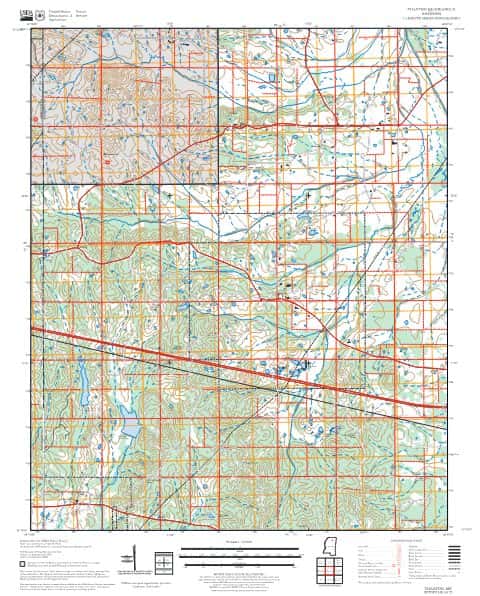
Thaxton
Forest Service topo with road numbers
Forest Service FSTopo 7.5-minute quad

Etta
Forest Service topo with road numbers
Forest Service FSTopo 7.5-minute quad

Denmark
Forest Service topo with road numbers
Forest Service FSTopo 7.5-minute quad

Puskus Lake
Forest Service topo with road numbers
Forest Service FSTopo 7.5-minute quad

Denmark, MS
Old map for history, not navigation
USGS historical 15-minute topo (1942)

Denmark, MS
Old map for history, not navigation
USGS historical 15-minute topo (1943)

Holly Springs National Forest, National Forests in Mississippi
Forest Service forest map

Natchez Trace Parkway Map - Natchez Trace Parkway
National Park Service Maps · Natchez Trace Parkway

Network to Freedom Brochure Map - National Underground Railroad Network to Freedom Program
National Park Service Maps · National Underground Railroad Network to Freedom Program

U.S. Fish and Wildlife Service Alligator Snapping Turtle Range (2024)
Fish & Wildlife Service Refuge Maps

Continental Glaciation Map - Tule Springs Fossil Beds National Monument
National Park Service Maps · Tule Springs Fossil Beds National Monument

Bureau of Land Management Eastern States Overview map
BLM Eastern States (2019)

IFR Enroute Low Altitude Chart L-18 (U.S.)
FAA, 2026-10-29

IFR Enroute High Altitude Chart H-06 (U.S.)
FAA, 2026-10-29
Nearby
Name, class, county and location: USGS Geographic Names Information System (public domain).