Maxey Flats
Flat in Fleming County, Kentucky · on the USGS Plummers Landing quadrangle
38.26536, -83.56658
Maps that show Maxey Flats
Get them in the map app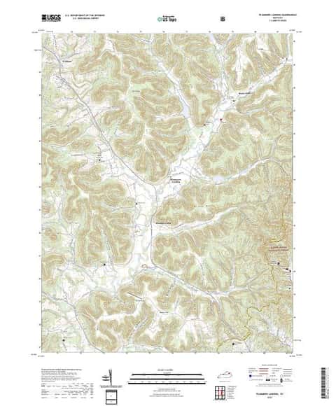
Plummers Landing, KY
Detailed map of terrain, trails and roads
USGS topo, 2022

Plummers Landing
Forest Service topo with road numbers
Forest Service FSTopo 7.5-minute quad

Daniel Boone National Forest
Forest Service forest map

Network to Freedom Brochure Map - National Underground Railroad Network to Freedom Program
National Park Service Maps · National Underground Railroad Network to Freedom Program

U.S. Fish and Wildlife Service Alligator Snapping Turtle Range (2024)
Fish & Wildlife Service Refuge Maps

Bureau of Land Management Eastern States Overview map
BLM Eastern States (2019)

IFR Enroute Low Altitude Chart L-26 (U.S.)
FAA, 2026-10-29

IFR Enroute Low Altitude Chart L-29 (U.S.)
FAA, 2026-10-29

IFR Enroute Low Altitude Chart L-27 (U.S.)
FAA, 2026-10-29

IFR Enroute High Altitude Chart H-09 (U.S.)
FAA, 2026-10-29

IFR Enroute High Altitude Chart H-10 (U.S.)
FAA, 2026-10-29

IFR Enroute High Altitude Chart H-12 (U.S.)
FAA, 2026-10-29
Name, class, county and location: USGS Geographic Names Information System (public domain).