Palmer Butte
Summit in Latah County, Idaho · on the USGS Farmington quadrangle
47.06517, -117.01043
Maps that show Palmer Butte
Get them in the map app
Farmington, WA-ID
Detailed map of terrain, trails and roads
USGS topo, 2023

Farmington
Forest Service topo with road numbers
Forest Service FSTopo 7.5-minute quad

Saint Maries 30x60 Land Ownership (BLM Surface Management)
Land Ownership Maps from BLM Data · Idaho

Rosalia 30x60 Land Ownership (BLM Surface Management)
Land Ownership Maps from BLM Data · Washington

Map #1
Where snowmobiles are allowed
Palouse Ranger District Over-Snow Vehicle Use Map — Nez Perce-Clearwater National Forests (2018)

Idaho Panhandle National Forests
Forest Service forest map

Nez Perce-Clearwater National Forest
Forest Service forest map

Index Over-Snow Vehicle Use Map
Where snowmobiles are allowed
Nez Perce-Clearwater National Forests

Montana Public Land Hunting Map: Northwest
Cartahaven Maps · Montana

Idaho Public Land Hunting Map: Panhandle
Cartahaven Maps · Idaho
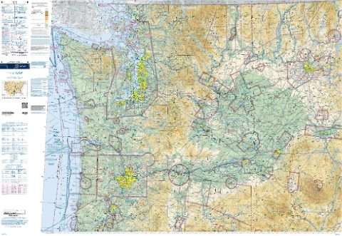
Seattle VFR Sectional Chart (FAA, edition 2026-10-29)
FAA IFR Enroute Charts

IFR Enroute Low Altitude Chart L-13 (U.S.)
FAA, 2026-10-29

IFR Enroute High Altitude Chart H-01 (U.S.)
FAA, 2026-10-29

IFR Enroute Low Altitude Chart L-01 (Alaska)
FAA, 2026-10-29
Name, class, county and location: USGS Geographic Names Information System (public domain).