Round Top
Summit in Shoshone County, Idaho · on the USGS Burke quadrangle
47.60796, -115.77043
Maps that show Round Top
Get them in the map app
Burke, ID-MT
USGS topo, 2024
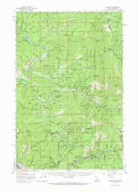
Burke, ID
USGS historical 15-minute topo (1957)
Coeur DAlene District, ID
USGS historical 15-minute topo (1901)
Coeur DAlene District, ID
USGS historical 15-minute topo (1903)
Coeur DAlene District, ID
USGS historical 15-minute topo (1906)
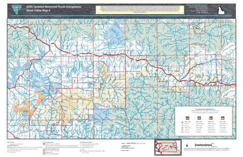
Motorized Travel Silver Valley
BLM Idaho (2026)
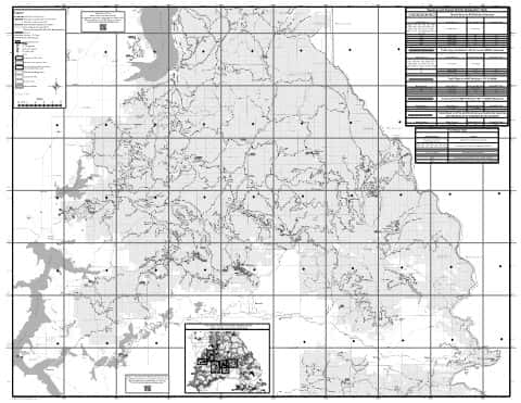
CDA Motor Vehicle Use Map (MVUM) Back
Idaho Panhandle National Forests (2020)
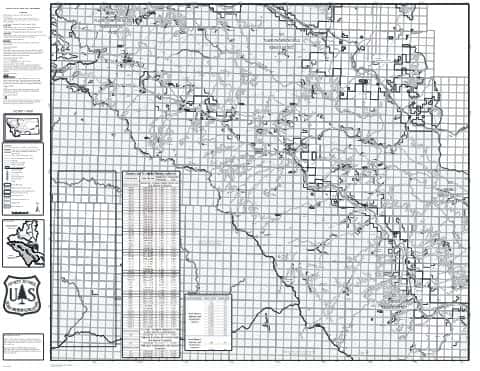
Superior RD Motor Vehicle Use Map (MVUM)
Lolo National Forest
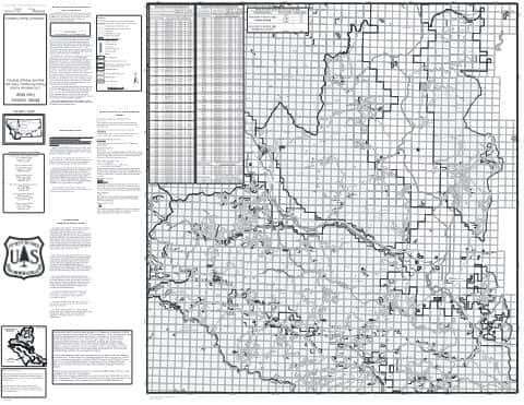
Plains/Thompson Falls RD Motor Vehicle Use Map (MVUM)
Lolo National Forest
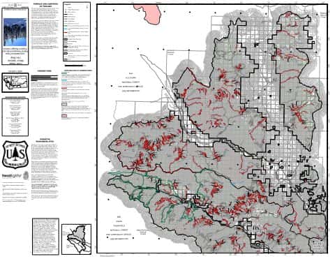
Plains Ranger District OSVUM
Lolo National Forest
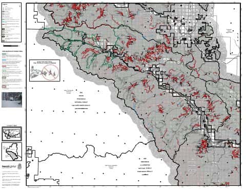
Superior Ranger District OSVUM
Lolo National Forest
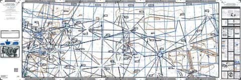
IFR Enroute Low Altitude Chart L-13 (U.S.)
FAA, 2026-10-29
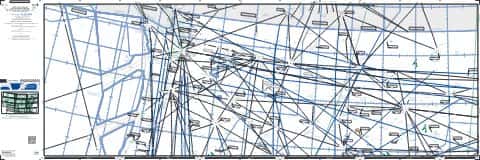
IFR Enroute High Altitude Chart H-01 (U.S.)
FAA, 2026-10-29
IFR Enroute Low Altitude Chart L-01 (Alaska)
FAA, 2026-10-29
Nearby
Name, class, county and location: USGS Geographic Names Information System (public domain).