Hog Hill
Summit in Coconino County, Arizona · on the USGS Sycamore Point quadrangle
35.04831, -111.92079
Maps that show Hog Hill
Get them in the map app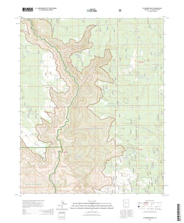
Sycamore Point, AZ
USGS topo, 2026
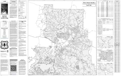
North Section of Motor Vehicle Use Map (MVUM)
Coconino National Forest (2025)
IFR Enroute Low Altitude Chart L-08 (U.S.)
FAA, 2026-10-29
IFR Enroute Low Altitude Chart L-05 (U.S.)
FAA, 2026-10-29
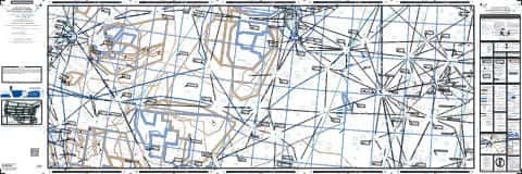
IFR Enroute Low Altitude Chart L-09 (U.S.)
FAA, 2026-10-29
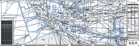
IFR Enroute High Altitude Chart H-04 (U.S.)
FAA, 2026-10-29
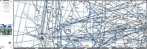
IFR Enroute High Altitude Chart H-03 (U.S.)
FAA, 2026-10-29
Nearby
Name, class, county and location: USGS Geographic Names Information System (public domain).