Edwards Peak
Summit in Gila County, Arizona · on the USGS Tonto Basin quadrangle
33.83072, -111.35965
Maps that show Edwards Peak
Get them in the map app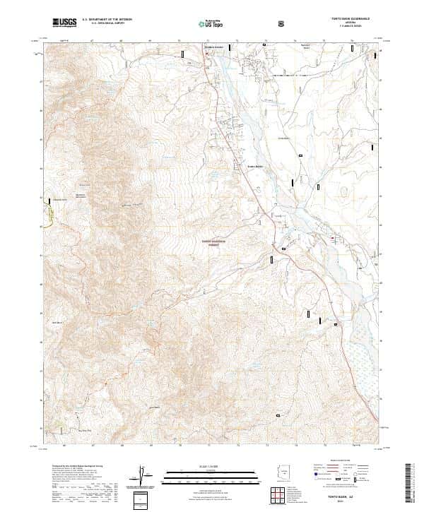
Nearby
Name, class, county and location: USGS Geographic Names Information System (public domain).