Boggys Pass
Gap in Tulare County, California · on the USGS Casa Vieja Meadows quadrangle
36.17966, -118.26675
Maps that show Boggys Pass
Get them in the map app
Casa Vieja Meadows, CA
USGS topo, 2021

Hockett Peak, CA
USGS historical 15-minute topo (1956)
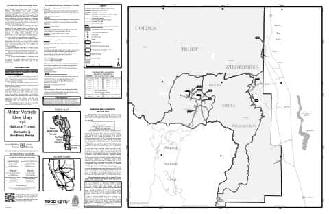
Motor Vehicle Use Map (MVUM)
Monache — Inyo National Forest
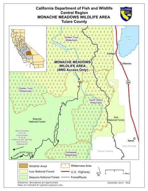
Monache Meadows Wildlife Area
California CDFW
IFR Enroute Low Altitude Chart L-07 (U.S.)
FAA, 2026-10-29
IFR Enroute Low Altitude Chart L-04 (U.S.)
FAA, 2026-10-29

IFR Enroute Low Altitude Chart L-03 (U.S.)
FAA, 2026-10-29

IFR Enroute Low Altitude Chart L-09 (U.S.)
FAA, 2026-10-29

IFR Enroute High Altitude Chart H-04 (U.S.)
FAA, 2026-10-29
IFR Enroute High Altitude Chart H-03 (U.S.)
FAA, 2026-10-29
Nearby
Name, class, county and location: USGS Geographic Names Information System (public domain).