Stage Station Flat
Flat in Hinsdale County, Colorado · on the USGS Weminuche Pass quadrangle
37.74278, -107.28283
Maps that show Stage Station Flat
Get them in the map app
Weminuche Pass, CO
Detailed map of terrain, trails and roads
USGS topo, 2023

Finger Mesa
Forest Service topo with road numbers
Forest Service FSTopo 7.5-minute quad
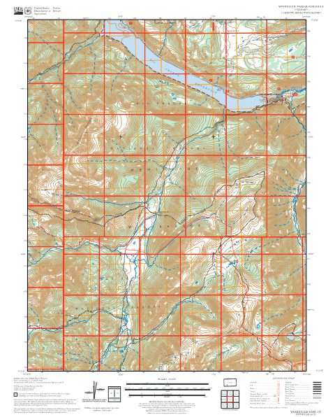
Weminuche Pass
Forest Service topo with road numbers
Forest Service FSTopo 7.5-minute quad

Divide Ranger District
Forest roads and trails open to vehicles
West Motor Vehicle Use Map (MVUM) — Rio Grande National Forest (2025)

Silverton 30x60 Land Ownership (BLM Surface Management)
Land Ownership Maps from BLM Data · Colorado

Pagosa Ranger District Motor Vehicle Use Map (MVUM)
Forest roads and trails open to vehicles
San Juan National Forest (2026)

Columbine District Motor Vehicle Use Map (MVUM)
Forest roads and trails open to vehicles
San Juan National Forest (2026)

Mountain Division Motor Vehicle Use Map (MVUM)
Forest roads and trails open to vehicles
Grand Mesa, Uncompahgre and Gunnison National Forests (2025)

San Juan National Forest
Forest Service forest map

Rio Grande National Forest
Forest Service forest map

Grand Mesa, Uncompahgre and Gunnison National Forests
Forest Service forest map

IFR Enroute Low Altitude Chart L-08 (U.S.)
FAA, 2026-10-29

IFR Enroute Low Altitude Chart L-09 (U.S.)
FAA, 2026-10-29

IFR Enroute Low Altitude Chart L-11 (U.S.)
FAA, 2026-10-29

IFR Enroute High Altitude Chart H-04 (U.S.)
FAA, 2026-10-29

IFR Enroute High Altitude Chart H-03 (U.S.)
FAA, 2026-10-29
Nearby
Name, class, county and location: USGS Geographic Names Information System (public domain).