Soil Conservation Service Site 27 Reservoir
Reservoir in Hemphill County, Texas · on the USGS Lake June quadrangle
35.73838, -100.13040
Maps that show Soil Conservation Service Site 27 Reservoir
Get them in the map app
Lake June, TX
Detailed map of terrain, trails and roads
USGS topo, 2022
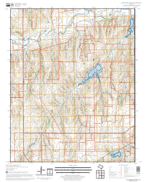
Hackberry Creek
Forest Service topo with road numbers
Forest Service FSTopo 7.5-minute quad

Black Kettle National Grassland, Cibola National Forest
Forest Service forest map

National Heritage Areas - NPS-wide
National Park Service Maps · NPS-wide

Continental Glaciation Map - Tule Springs Fossil Beds National Monument
National Park Service Maps · Tule Springs Fossil Beds National Monument

IFR Enroute Low Altitude Chart L-15 (U.S.)
FAA, 2026-10-29

IFR Enroute High Altitude Chart H-06 (U.S.)
FAA, 2026-10-29
Nearby
Name, class, county and location: USGS Geographic Names Information System (public domain).