North Hills
Range in Missoula County, Montana · on the USGS Northwest Missoula quadrangle
46.91381, -114.00650
Maps that show North Hills
Get them in the map app
Northwest Missoula, MT
Detailed map of terrain, trails and roads
USGS topo, 2024

Northeast Missoula
Forest Service topo with road numbers
Forest Service FSTopo 7.5-minute quad
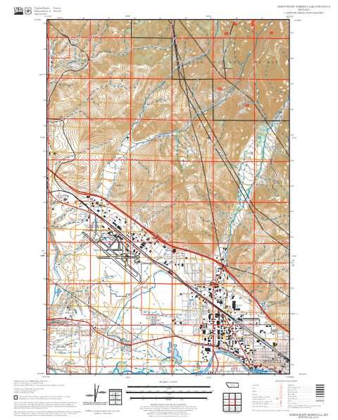
Northwest Missoula
Forest Service topo with road numbers
Forest Service FSTopo 7.5-minute quad

Missoula West 30x60 Land Ownership (BLM Surface Management)
Land Ownership Maps from BLM Data · Montana

Missoula East 30x60 Land Ownership (BLM Surface Management)
Land Ownership Maps from BLM Data · Montana

Missoula West Motor Vehicle Use Map (MVUM)
Forest roads and trails open to vehicles
Lolo National Forest

Ninemile Ranger District OSVUM
Where snowmobiles are allowed
Lolo National Forest

Travel Map West
BLM Montana / Dakotas (2020)

Missoula Ranger District OSVUM
Where snowmobiles are allowed
Lolo National Forest

Lolo National Forest
Forest Service forest map

Index Over-Snow Vehicle Use Map
Where snowmobiles are allowed
Nez Perce-Clearwater National Forests

Montana Public Land Hunting Map: Northwest
Cartahaven Maps · Montana

Montana Public Land Hunting Map: Southwest
Cartahaven Maps · Montana

Idaho Public Land Hunting Map: Panhandle
Cartahaven Maps · Idaho

IFR Enroute Low Altitude Chart L-13 (U.S.)
FAA, 2026-10-29

IFR Enroute High Altitude Chart H-01 (U.S.)
FAA, 2026-10-29

IFR Enroute Low Altitude Chart L-01 (Alaska)
FAA, 2026-10-29
Name, class, county and location: USGS Geographic Names Information System (public domain).