Big Cottonwood Allot 1 Reservoir
Reservoir in Dawes County, Nebraska · on the USGS Horn quadrangle
42.80774, -103.43191
Maps that show Big Cottonwood Allot 1 Reservoir
Get them in the map app
Horn, NE
Detailed map of terrain, trails and roads
USGS topo, 2021

Horn
Forest Service topo with road numbers
Forest Service FSTopo 7.5-minute quad

Oglala National Grassland, Nebraska National Forest
Forest Service forest map
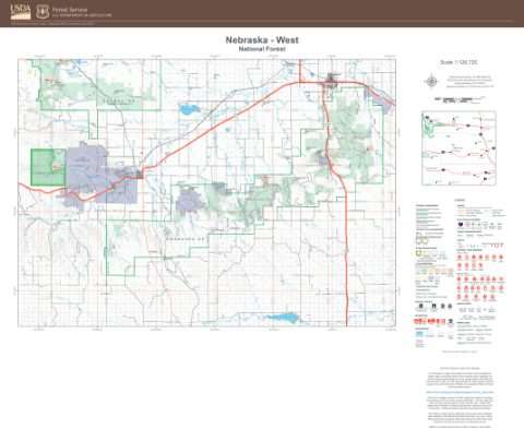
Nebraska National Forest
West — Forest Service forest map

Oglala National Grassland Motor Vehicle Use Map (MVUM) (2020)
Forest roads and trails open to vehicles
Forest Service Maps · Nebraska National Forests and Grasslands

Nebraska National Forest, Pine Ridge Ranger District Motor Vehicle Use Map (MVUM) (2020)
Forest roads and trails open to vehicles
Forest Service Maps · Nebraska National Forests and Grasslands

Wyoming Land Status Map with field office and county boundaries
BLM Wyoming (2020)

Park Map - Lewis and Clark National Historic Trail
National Park Service Maps · Lewis and Clark National Historic Trail

IFR Enroute Low Altitude Chart L-12 (U.S.)
FAA, 2026-10-29

IFR Enroute High Altitude Chart H-05 (U.S.)
FAA, 2026-10-29

IFR Enroute Low Altitude Chart L-13 (U.S.)
FAA, 2026-10-29

IFR Enroute High Altitude Chart H-01 (U.S.)
FAA, 2026-10-29
Nearby
Name, class, county and location: USGS Geographic Names Information System (public domain).