Chadron Reservoir Number 2
Reservoir in Dawes County, Nebraska · on the USGS Coffee Mill Butte quadrangle
42.74377, -103.00478
Maps that show Chadron Reservoir Number 2
Get them in the map app
Coffee Mill Butte, NE
Detailed map of terrain, trails and roads
USGS topo, 2021

Chadron West
Forest Service topo with road numbers
Forest Service FSTopo 7.5-minute quad

Coffee Mill Butte
Forest Service topo with road numbers
Forest Service FSTopo 7.5-minute quad

Kings Canyon
Forest Service topo with road numbers
Forest Service FSTopo 7.5-minute quad

Chadron East
Forest Service topo with road numbers
Forest Service FSTopo 7.5-minute quad

Nebraska National Forest, Pine Ridge Ranger District Motor Vehicle Use Map (MVUM) supplement (2026)
Forest roads and trails open to vehicles
Forest Service Maps · Nebraska National Forests and Grasslands
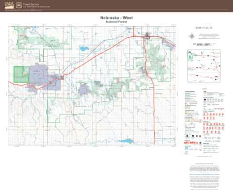
Nebraska National Forest
West — Forest Service forest map

Nebraska National Forest, Pine Ridge Ranger District Motor Vehicle Use Map (MVUM) (2020)
Forest roads and trails open to vehicles
Forest Service Maps · Nebraska National Forests and Grasslands

Park Map - Lewis and Clark National Historic Trail
National Park Service Maps · Lewis and Clark National Historic Trail

IFR Enroute Low Altitude Chart L-12 (U.S.)
FAA, 2026-10-29

IFR Enroute High Altitude Chart H-05 (U.S.)
FAA, 2026-10-29

IFR Enroute Low Altitude Chart L-13 (U.S.)
FAA, 2026-10-29
Nearby
Name, class, county and location: USGS Geographic Names Information System (public domain).