Dead Indian-Wildhorse Site 11 Reservoir
Reservoir in Roger Mills County, Oklahoma · on the USGS Cheyenne NW quadrangle
35.72005, -99.66539
Maps that show Dead Indian-Wildhorse Site 11 Reservoir
Get them in the map app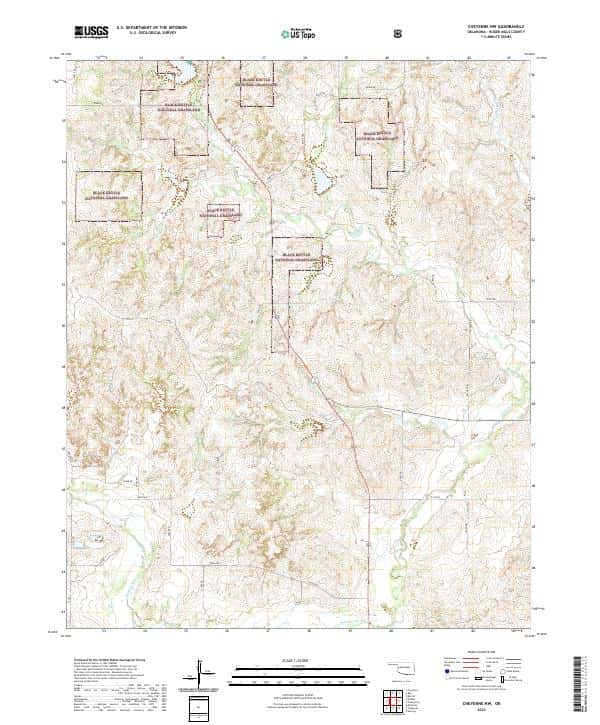
Cheyenne NW, OK
USGS topo, 2022
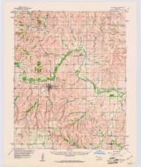
Cheyenne, OK
USGS historical 15-minute topo (1960)
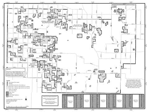
Black Kettle/McClellan Creek
Back Motor Vehicle Use Map (MVUM) — Cibola National Forest and National Grasslands
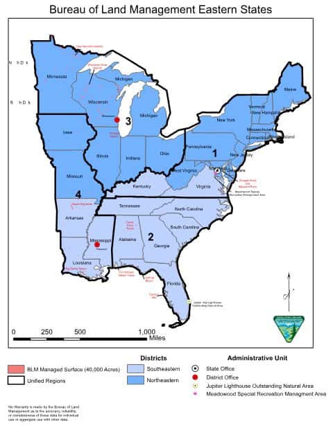
Bureau of Land Management Eastern States Overview map
BLM Eastern States (2019)

IFR Enroute Low Altitude Chart L-15 (U.S.)
FAA, 2026-10-29

IFR Enroute High Altitude Chart H-06 (U.S.)
FAA, 2026-10-29
Nearby
Name, class, county and location: USGS Geographic Names Information System (public domain).