Lupine Meadows
Flat in Teton County, Wyoming · on the USGS Moose quadrangle
43.74077, -110.73799
Maps that show Lupine Meadows
Get them in the map app
Moose, WY
Detailed map of terrain, trails and roads
USGS topo, 2021

Palisades and Teton Basin Winter Travel Map
Caribou-Targhee National Forest
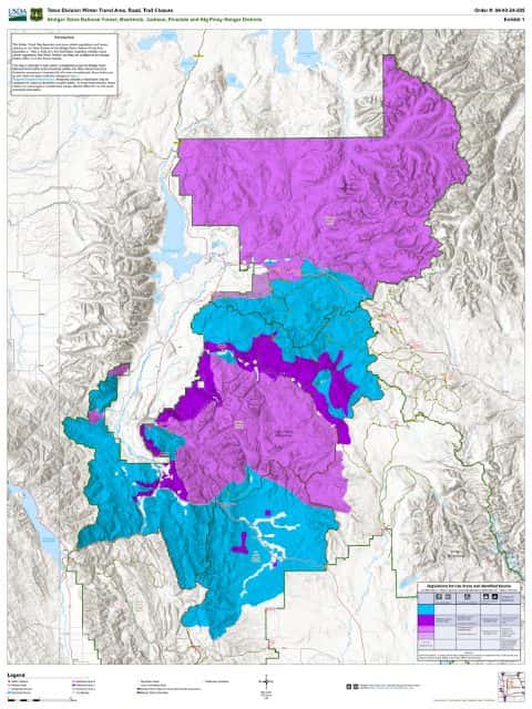
Jackson, Blackrock, Big Piney, & Pinedale RD Winter Restriction Map
Bridger-Teton National Forest

Caribou-Targhee National Forest
Targhee — Forest Service forest map

Bridger-Teton National Forest
Forest Service forest map

IFR Enroute Low Altitude Chart L-11 (U.S.)
FAA, 2026-10-29

IFR Enroute Low Altitude Chart L-13 (U.S.)
FAA, 2026-10-29

IFR Enroute High Altitude Chart H-03 (U.S.)
FAA, 2026-10-29

IFR Enroute High Altitude Chart H-01 (U.S.)
FAA, 2026-10-29

IFR Enroute Low Altitude Chart L-01 (Alaska)
FAA, 2026-10-29
Nearby
Name, class, county and location: USGS Geographic Names Information System (public domain).