Luman Rim
Cliff in Sweetwater County, Wyoming · on the USGS Luman Rim quadrangle
42.00690, -108.42427
Maps that show Luman Rim
Get them in the map app
Luman Rim, WY
USGS topo, 2021

Five Fingers Butte, WY
USGS historical 15-minute topo (1960)
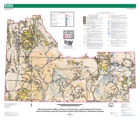
Map of sand and gravel mines, prospects, and occurrences, and the geologic units that host them in the Wyoming Landscape Conservation Initiative (WLCI) study area, southwestern Wyoming
USGS Open-Fil

IFR Enroute Low Altitude Chart L-09 (U.S.)
FAA, 2026-10-29

IFR Enroute Low Altitude Chart L-11 (U.S.)
FAA, 2026-10-29

IFR Enroute Low Altitude Chart L-13 (U.S.)
FAA, 2026-10-29

IFR Enroute High Altitude Chart H-03 (U.S.)
FAA, 2026-10-29

IFR Enroute High Altitude Chart H-01 (U.S.)
FAA, 2026-10-29
Name, class, county and location: USGS Geographic Names Information System (public domain).