Pennington Gap
Gap in Lee County, Virginia · on the USGS Pennington Gap quadrangle
36.77759, -83.03322
Maps that show Pennington Gap
Get them in the map app
Pennington Gap, VA-KY
Detailed map of terrain, trails and roads
USGS topo, 2022

Pennington Gap
Forest Service topo with road numbers
Forest Service FSTopo 7.5-minute quad

Nolansburg, KY
Old map for history, not navigation
USGS historical 15-minute topo (1919)

George Washington and Jefferson National Forest
Jefferson West — Forest Service forest map
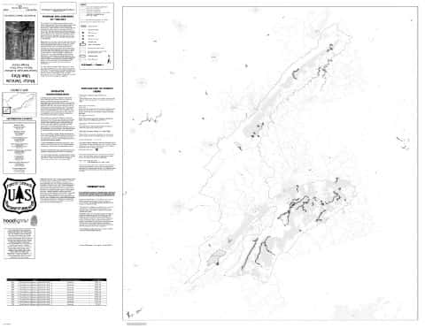
Clinch Motor Vehicle Use Map (MVUM)
Forest roads and trails open to vehicles
George Washington and Jefferson National Forests

Network to Freedom Brochure Map - National Underground Railroad Network to Freedom Program
National Park Service Maps · National Underground Railroad Network to Freedom Program

U.S. Fish and Wildlife Service Alligator Snapping Turtle Range (2024)
Fish & Wildlife Service Refuge Maps

Bureau of Land Management Eastern States Overview map
BLM Eastern States (2019)

IFR Enroute Low Altitude Chart L-25 (U.S.)
FAA, 2026-10-29

IFR Enroute Low Altitude Chart L-26 (U.S.)
FAA, 2026-10-29

IFR Enroute High Altitude Chart H-09 (U.S.)
FAA, 2026-10-29

IFR Enroute High Altitude Chart H-10 (U.S.)
FAA, 2026-10-29

IFR Enroute High Altitude Chart H-12 (U.S.)
FAA, 2026-10-29
Nearby
Name, class, county and location: USGS Geographic Names Information System (public domain).