Big Spring
Spring in Washington County, Virginia · on the USGS Wallace quadrangle
36.64280, -82.23907
Maps that show Big Spring
Get them in the map app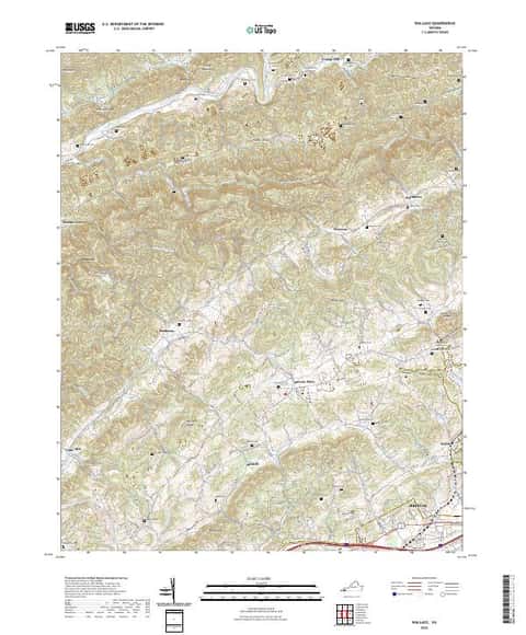
Wallace, VA
Detailed map of terrain, trails and roads
USGS topo, 2022
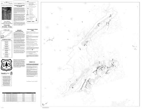
Clinch Motor Vehicle Use Map (MVUM)
Forest roads and trails open to vehicles
George Washington and Jefferson National Forests

Cherokee National Forest
North — Forest Service forest map

Mount Rogers National Recreation Area Motor Vehicle Use Map (MVUM)
Forest roads and trails open to vehicles
George Washington and Jefferson National Forests

Network to Freedom Brochure Map - National Underground Railroad Network to Freedom Program
National Park Service Maps · National Underground Railroad Network to Freedom Program

Bureau of Land Management Eastern States Overview map
BLM Eastern States (2019)

IFR Enroute Low Altitude Chart L-25 (U.S.)
FAA, 2026-10-29

IFR Enroute Low Altitude Chart L-26 (U.S.)
FAA, 2026-10-29

IFR Enroute High Altitude Chart H-09 (U.S.)
FAA, 2026-10-29

IFR Enroute High Altitude Chart H-10 (U.S.)
FAA, 2026-10-29

IFR Enroute High Altitude Chart H-12 (U.S.)
FAA, 2026-10-29
Nearby
Name, class, county and location: USGS Geographic Names Information System (public domain).