Slick Hill
Summit in Sanpete County, Utah · on the USGS Fairview quadrangle
39.65423, -111.47345
Maps that show Slick Hill
Get them in the map app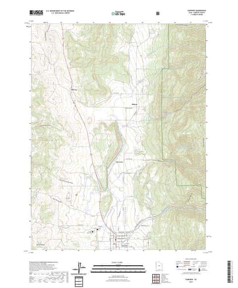
Fairview, UT
Detailed map of terrain, trails and roads
USGS topo, 2023

Fairview
Forest Service topo with road numbers
Forest Service FSTopo 7.5-minute quad

Nephi 30x60 Land Ownership (BLM Surface Management)
Land Ownership Maps from BLM Data · Utah

Manti-La Sal National Forest
West — Forest Service forest map

Sevier, Piute, Sanpete and West Wayne Counties
BLM Utah

IFR Enroute Low Altitude Chart L-09 (U.S.)
FAA, 2026-10-29

IFR Enroute Low Altitude Chart L-11 (U.S.)
FAA, 2026-10-29

IFR Enroute High Altitude Chart H-04 (U.S.)
FAA, 2026-10-29

IFR Enroute High Altitude Chart H-03 (U.S.)
FAA, 2026-10-29

IFR Enroute High Altitude Chart H-01 (U.S.)
FAA, 2026-10-29
Name, class, county and location: USGS Geographic Names Information System (public domain).