Warner Valley Spring
Spring in Washington County, Utah · on the USGS Washington Dome quadrangle
37.09582, -113.44717
Maps that show Warner Valley Spring
Get them in the map app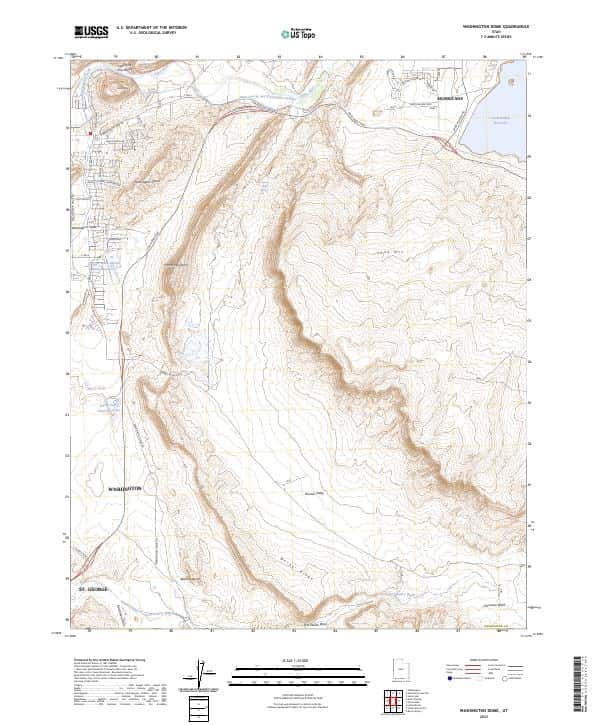
Washington Dome, UT
USGS topo, 2023
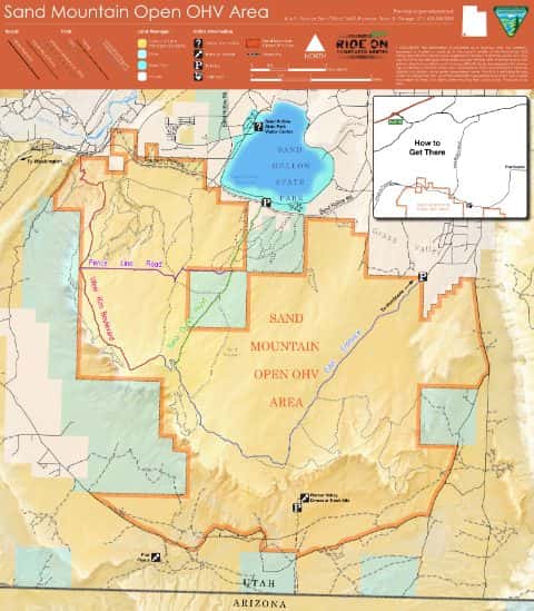
Sand Mountain Open OHV Area
BLM Utah

Hurricane, UT
USGS historical 15-minute topo (1954)

Arizona Strip Visitors Map [West]
BLM Arizona (2016)
IFR Enroute Low Altitude Chart L-08 (U.S.)
FAA, 2026-10-29
IFR Enroute Low Altitude Chart L-09 (U.S.)
FAA, 2026-10-29
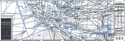
IFR Enroute High Altitude Chart H-04 (U.S.)
FAA, 2026-10-29
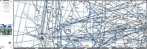
IFR Enroute High Altitude Chart H-03 (U.S.)
FAA, 2026-10-29
Nearby
Name, class, county and location: USGS Geographic Names Information System (public domain).