Loma de la Estrella
Summit in Cameron County, Texas · on the USGS Mouth of Rio Grande quadrangle
25.96403, -97.24477
Maps that show Loma de la Estrella
Get them in the map app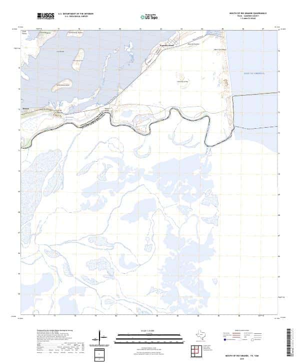
Mouth of Rio Grande, TX,TAM, US
USGS topo, 2025
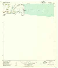
Mouth Of Rio Grande, TX
USGS historical 15-minute topo (1955)

Regional Map - El Camino Real de los Tejas National Historic Trail
National Park Service Maps (public domain) · El Camino Real de los Tejas National Historic Trail
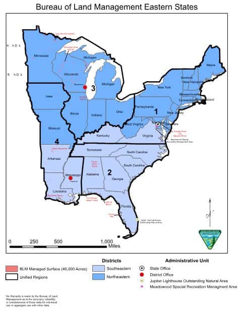
Bureau of Land Management Eastern States Overview map
BLM Eastern States (2019)

IFR Enroute Low Altitude Chart L-20 (U.S.)
FAA, 2026-10-29
IFR Enroute High Altitude Chart H-07 (U.S.)
FAA, 2026-10-29

IFR Enroute Low Altitude Chart L-21 (U.S.)
FAA, 2026-10-29
Nearby
Name, class, county and location: USGS Geographic Names Information System (public domain).