Illahee Rock
Pillar in Douglas County, Oregon · on the USGS Illahee Rock quadrangle
43.34898, -122.56313
Maps that show Illahee Rock
Get them in the map app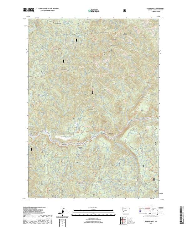
Illahee Rock, OR — USGS 7.5-minute topo (2023)
USGS Topo Maps (public domain) · Oregon
Public domain
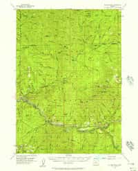
Illahee Rock, OR — USGS historical 15-minute topo (1955)
USGS Historical Topo Maps (public domain) · Oregon
Public domain

North Umpqua Ranger District — South Motor Vehicle Use Map (MVUM) — Umpqua National Forest (2024)
Forest Service Maps (public domain) · Umpqua National Forest
Public domain

North Umpqua Ranger District — North Motor Vehicle Use Map (MVUM) — Umpqua National Forest (2024)
Forest Service Maps (public domain) · Umpqua National Forest
Public domain
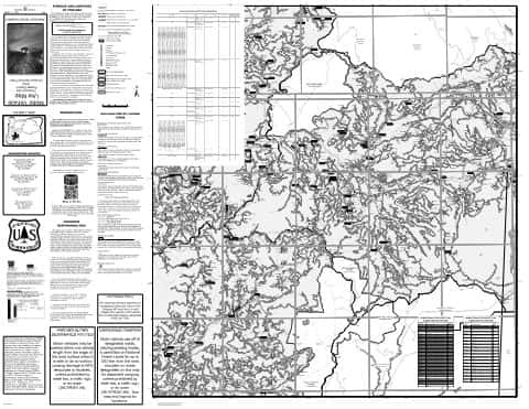
Diamond Lake Ranger District — West Motor Vehicle Use Map (MVUM) — Umpqua National Forest (2024)
Forest Service Maps (public domain) · Umpqua National Forest
Public domain

Middle Fork Ranger District — South (front and back) Motor Vehicle Use Map (MVUM) — Willamette National Forest (2025)
Forest Service Maps (public domain) · Willamette National Forest
Public domain
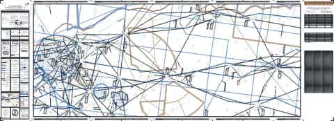
IFR Enroute Low Altitude Chart L-02 (U.S.) — FAA, 2026-10-29
FAA IFR Enroute Charts (public domain)
Public domain

IFR Enroute Low Altitude Chart L-01 (U.S.) — FAA, 2026-10-29
FAA IFR Enroute Charts (public domain)
Public domain

IFR Enroute Low Altitude Chart L-11 (U.S.) — FAA, 2026-10-29
FAA IFR Enroute Charts (public domain)
Public domain
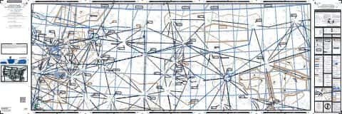
IFR Enroute Low Altitude Chart L-13 (U.S.) — FAA, 2026-10-29
FAA IFR Enroute Charts (public domain)
Public domain
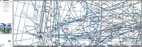
IFR Enroute High Altitude Chart H-03 (U.S.) — FAA, 2026-10-29
FAA IFR Enroute Charts (public domain)
Public domain
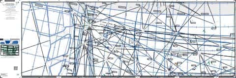
IFR Enroute High Altitude Chart H-01 (U.S.) — FAA, 2026-10-29
FAA IFR Enroute Charts (public domain)
Public domain
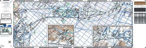
IFR Enroute Low Altitude Chart L-01 (Alaska) — FAA, 2026-10-29
FAA IFR Enroute Charts (public domain)
Public domain
Nearby
Name, class, county and location: USGS Geographic Names Information System (public domain).