Castle Rock
Pillar in Cimarron County, Oklahoma · on the USGS Kenton NE quadrangle
36.91863, -102.82881
Maps that show Castle Rock
Get them in the map app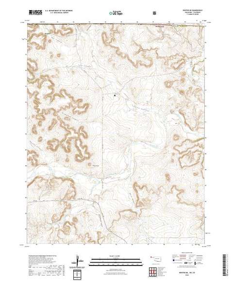
Kenton NE, OK-CO
Detailed map of terrain, trails and roads
USGS topo, 2022

Kenton NE
Forest Service topo with road numbers
Forest Service FSTopo 7.5-minute quad

Colorado Public Land Hunting Map: Southeast (San Luis Valley)
Cartahaven Maps · Colorado

IFR Enroute Low Altitude Chart L-15 (U.S.)
FAA, 2026-10-29

IFR Enroute High Altitude Chart H-05 (U.S.)
FAA, 2026-10-29
Name, class, county and location: USGS Geographic Names Information System (public domain).