Bald Knob
Summit in Logan County, Ohio · on the USGS Zanesfield quadrangle
40.29060, -83.69493
Maps that show Bald Knob
Get them in the map app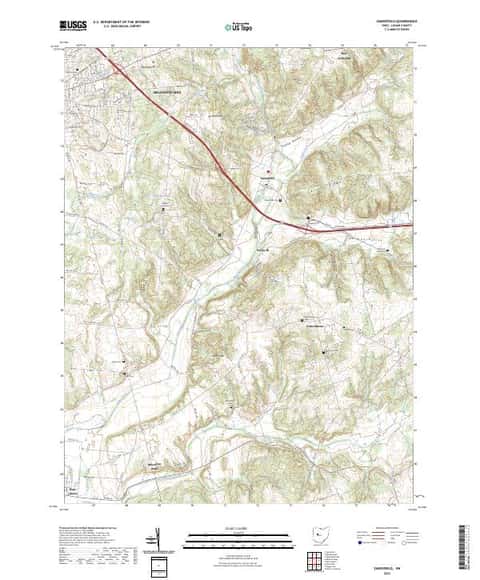
Zanesfield, OH
Detailed map of terrain, trails and roads
USGS topo, 2023

East Liberty, OH
Old map for history, not navigation
USGS historical 15-minute topo (1913)

East Liberty, OH
Old map for history, not navigation
USGS historical 15-minute topo (1915)

East Liberty, OH
Old map for history, not navigation
USGS historical 15-minute topo (1944)

Bureau of Land Management Eastern States Overview map
BLM Eastern States (2019)

IFR Enroute Low Altitude Chart L-29 (U.S.)
FAA, 2026-10-29

IFR Enroute Low Altitude Chart L-27 (U.S.)
FAA, 2026-10-29

IFR Enroute High Altitude Chart H-11 (U.S.)
FAA, 2026-10-29

IFR Enroute High Altitude Chart H-10 (U.S.)
FAA, 2026-10-29

IFR Enroute High Altitude Chart H-12 (U.S.)
FAA, 2026-10-29
Name, class, county and location: USGS Geographic Names Information System (public domain).